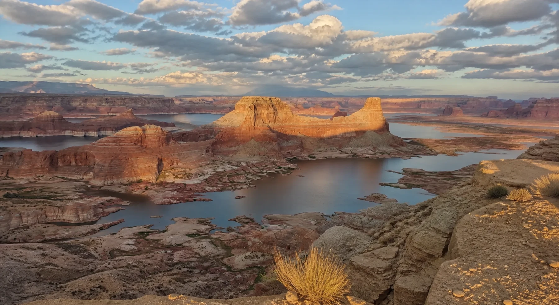

ADVENTURE ROUTE COLLECTION · UTAH + ARIZONA
Colorado Plateau: Desert Overlook Progression
Use eight routes across the Colorado Plateau. Start on graded canyon roads. Add sand, remote overlooks, and technical ledges in separate stages.
WHY IT FITS
Why this progression can fit your trip.
The collection has several routes near Lake Powell and Grand Staircase. It then adds two remote destination drives and one expert expedition route.
ROUTE PROGRESSION
Add one skill at a time.
Drive only the stages that fit your vehicle, experience, weather, and current access. A later stage is not a required finish.
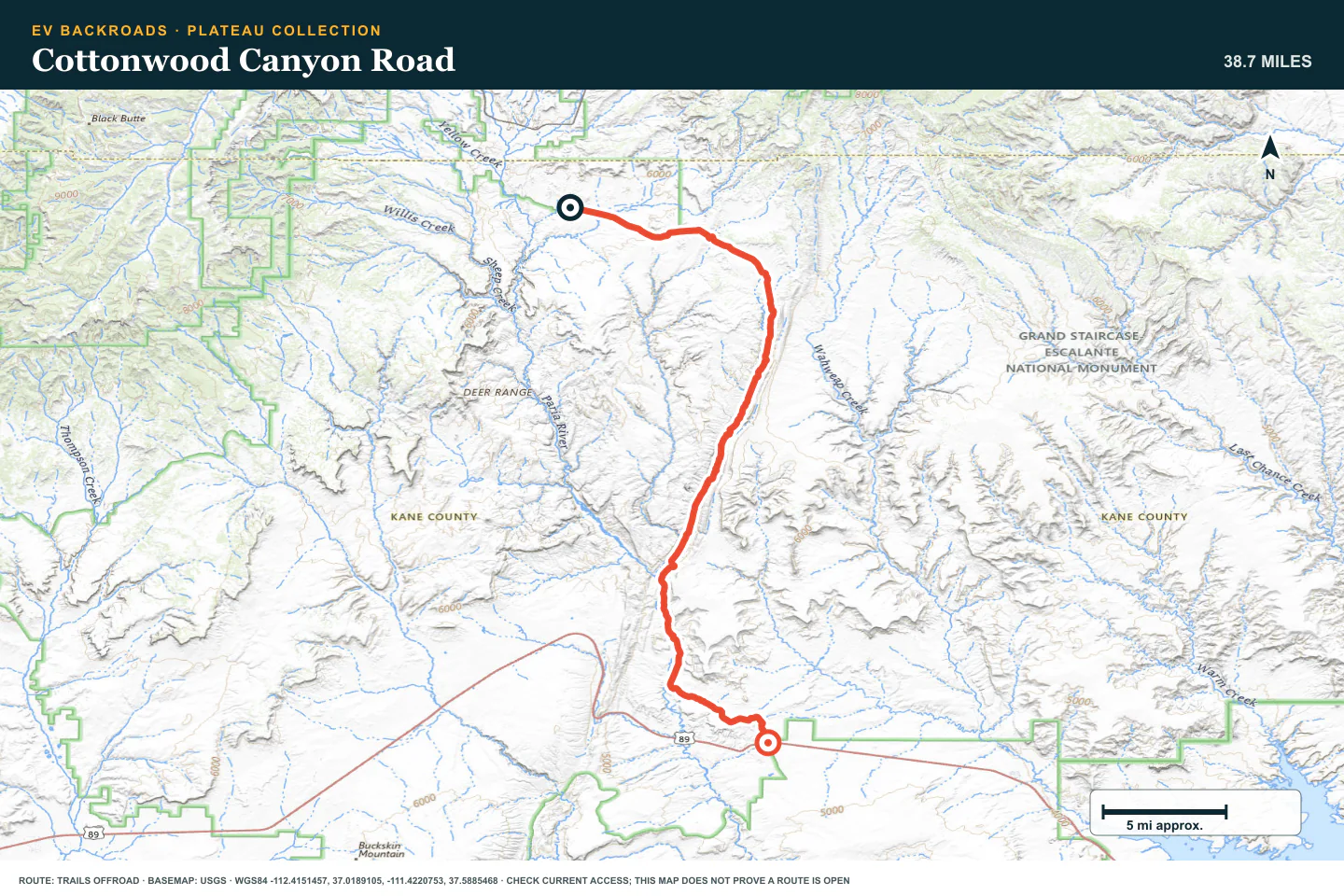
Cottonwood Canyon Road
- Route distance
- 38.7 mi
- Allow
- Half day
Start on the graded canyon road when it is dry. Use it to test desert heat, dust, and tire settings.
Access note: Source snapshot: Open. Check the live source before travel.
TOPOGRAPHIC PROFILE
Cottonwood Canyon Road, from start to finish
- Climb
- +1,249 ft
- Descent
- −2,266 ft
Elevation sampled from AWS Terrain Tiles along the published route. Small terrain and GPS differences are normal.
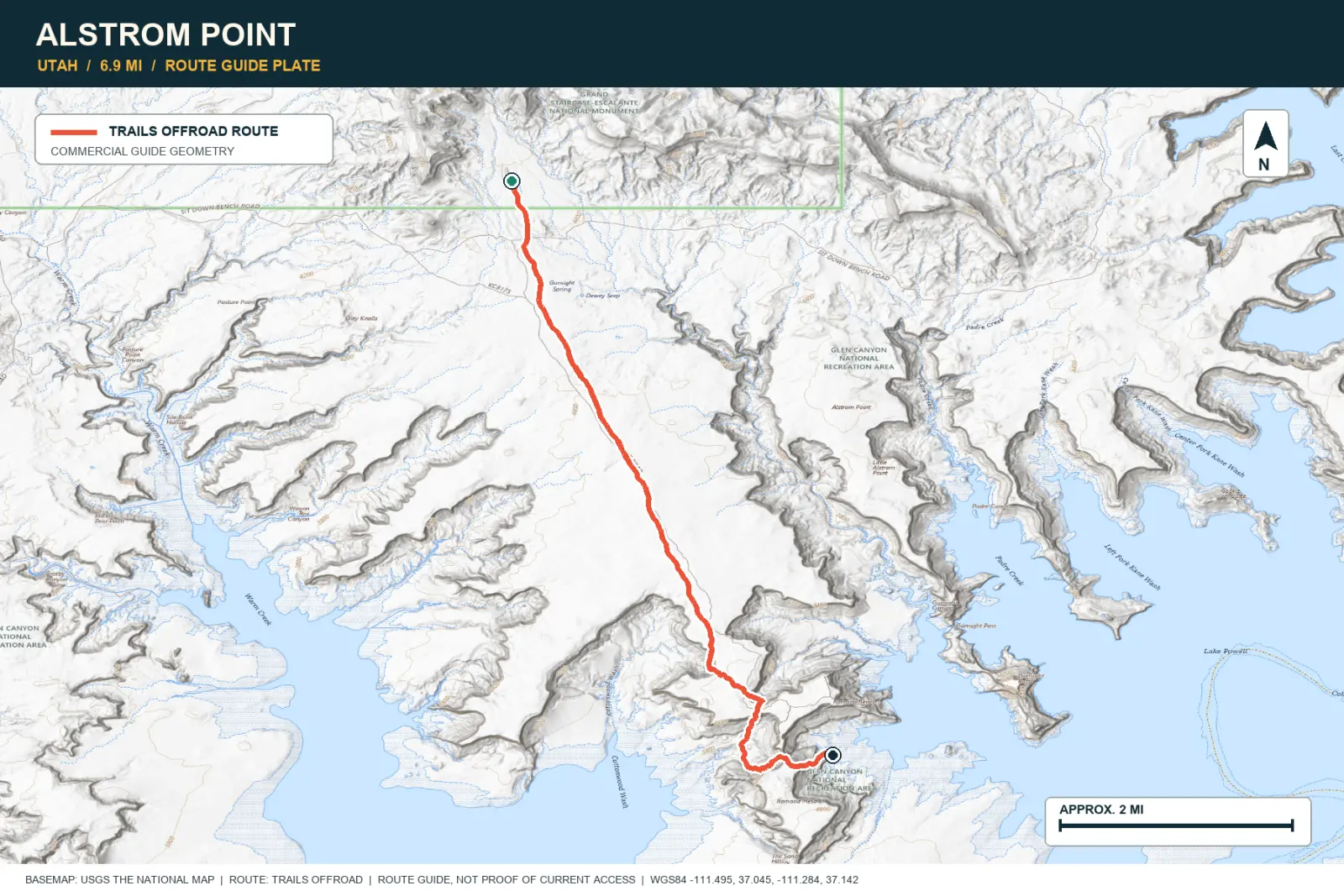
Alstrom Point
- Route distance
- 6.9 mi
- Allow
- Half day
Learn desert sand and route choice on a short approach. Park before the final rock if the vehicle does not fit.
TOPOGRAPHIC PROFILE
Alstrom Point, from start to finish
- Climb
- +429 ft
- Descent
- −149 ft
Elevation sampled from AWS Terrain Tiles along the published route. Small terrain and GPS differences are normal.
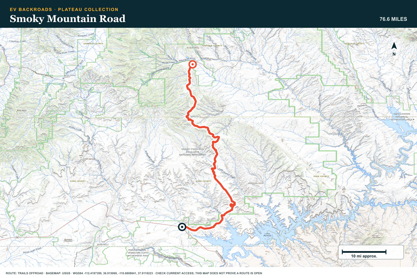
Smoky Mountain Road
- Route distance
- 76.6 mi
- Allow
- Full day
Add a long plateau crossing with steep grades and few services. Confirm the full exit before you start.
Access note: Source snapshot: Open. Check the live source before travel.
TOPOGRAPHIC PROFILE
Smoky Mountain Road, from start to finish
- Climb
- +4,338 ft
- Descent
- −2,511 ft
Elevation sampled from AWS Terrain Tiles along the published route. Small terrain and GPS differences are normal.
Croton Road
- Route distance
- 47.3 mi
- Allow
- Half day
Use this remote road to practice route finding and wash inspection. Do not enter when rain can reach the drainage.
Access note: Source snapshot: Open. Check the live source before travel.
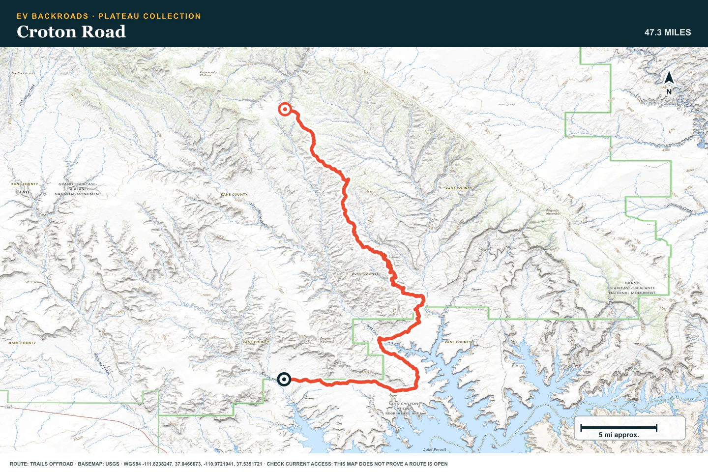
TOPOGRAPHIC PROFILE
Croton Road, from start to finish
- Climb
- +3,476 ft
- Descent
- −1,021 ft
Elevation sampled from AWS Terrain Tiles along the published route. Small terrain and GPS differences are normal.
Left Hand Collet Road
- Route distance
- 10.5 mi
- Allow
- Full day
Add a rougher backcountry road with sand and wash crossings. Keep a strict time and energy checkpoint.
Access note: Source snapshot: Open. Check the live source before travel.
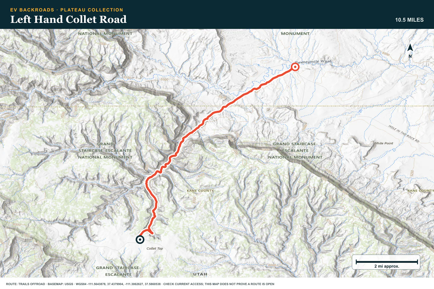
TOPOGRAPHIC PROFILE
Left Hand Collet Road, from start to finish
- Climb
- +9 ft
- Descent
- −1,283 ft
Elevation sampled from AWS Terrain Tiles along the published route. Small terrain and GPS differences are normal.
Hole in the Rock Road
- Route distance
- 56.3 mi
- Allow
- Full day or overnight
Use the long historic road to test range, tires, and communication before the technical trail with the similar name.
Access note: Source snapshot: Open. Check the live source before travel.
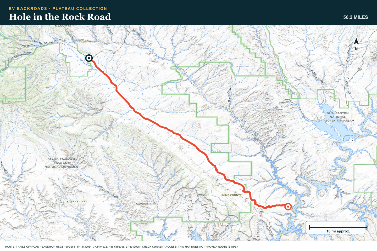
TOPOGRAPHIC PROFILE
Hole in the Rock Road, from start to finish
- Climb
- +880 ft
- Descent
- −2,318 ft
Elevation sampled from AWS Terrain Tiles along the published route. Small terrain and GPS differences are normal.
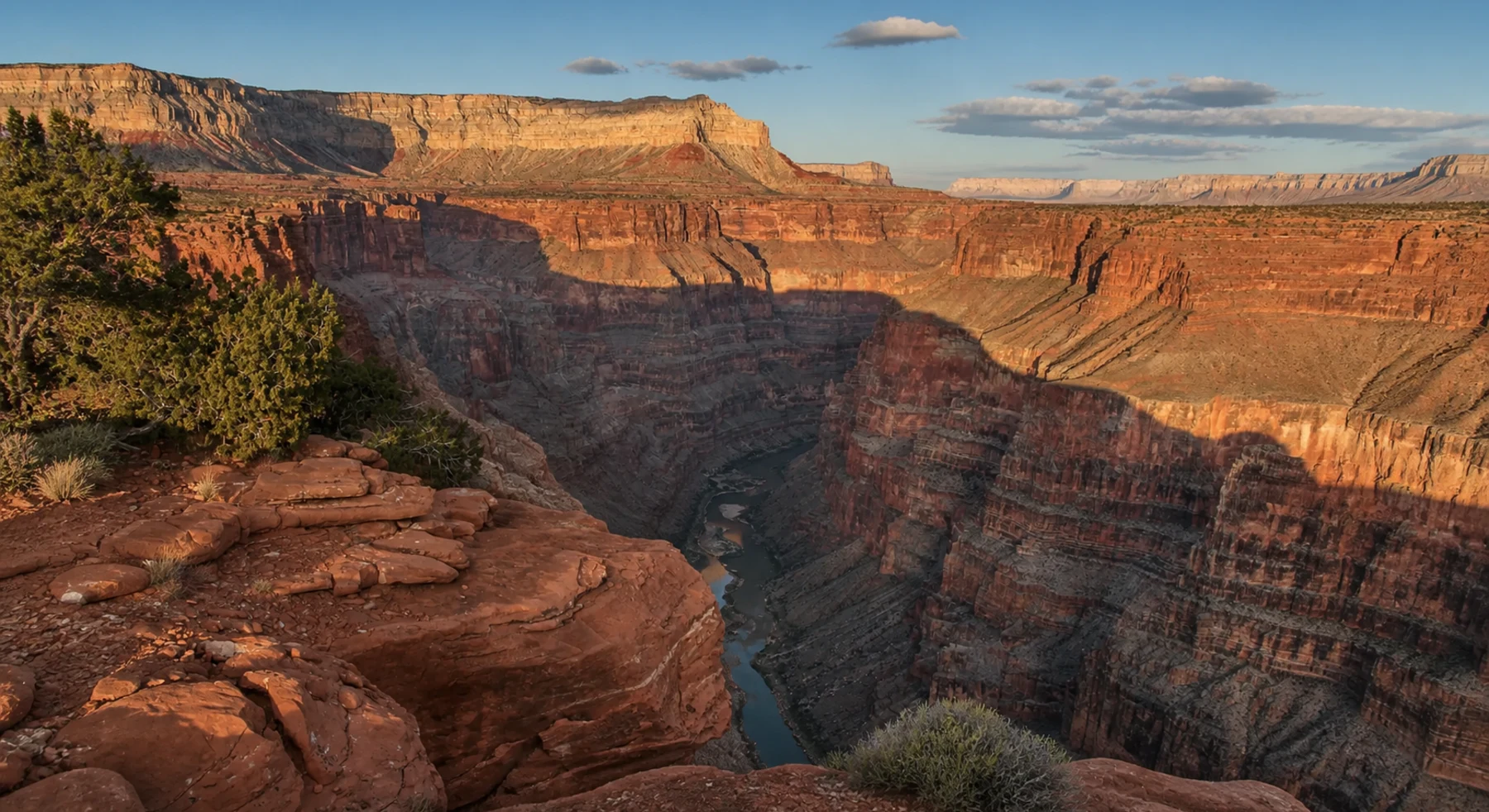
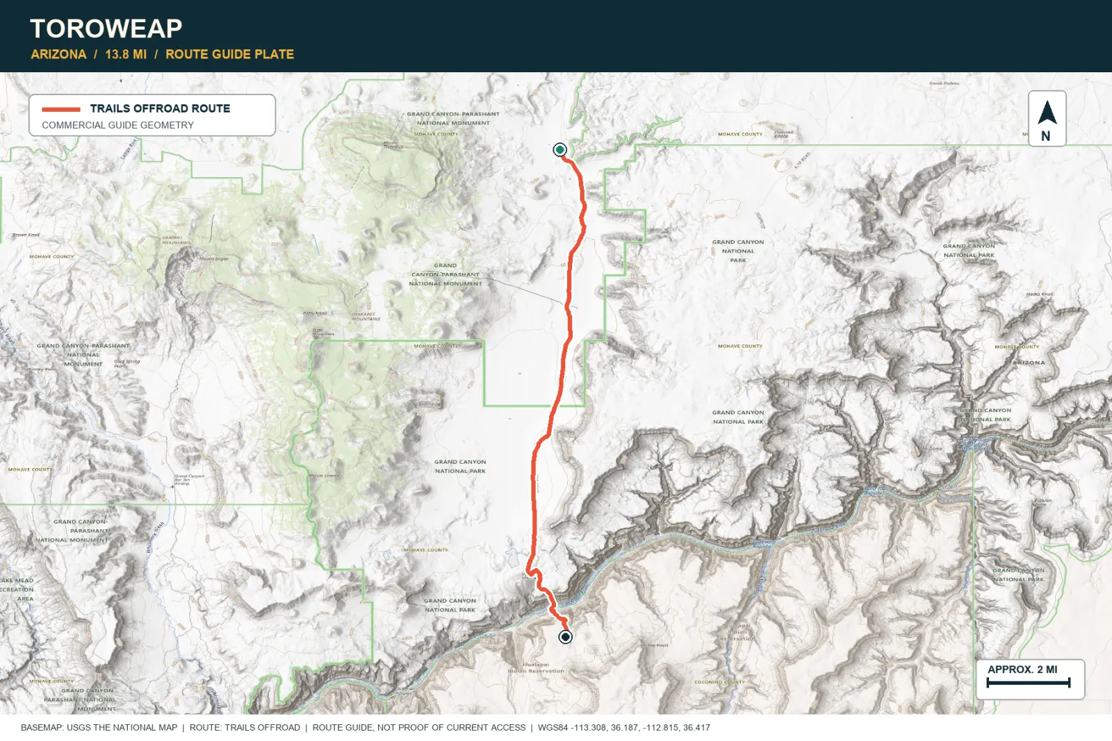
Toroweap
- Route distance
- 13.8 mi
- Allow
- Full day
Add permit rules, long isolation, and a high-clearance approach to the Grand Canyon rim.
Access note: Advance Tuweep day-use or backcountry permit, park pass, photo ID, and highway plate are required. Roads are remote, unmaintained, and high-clearance only.
TOPOGRAPHIC PROFILE
Toroweap, from start to finish
- Climb
- +217 ft
- Descent
- −770 ft
Elevation sampled from AWS Terrain Tiles along the published route. Small terrain and GPS differences are normal.
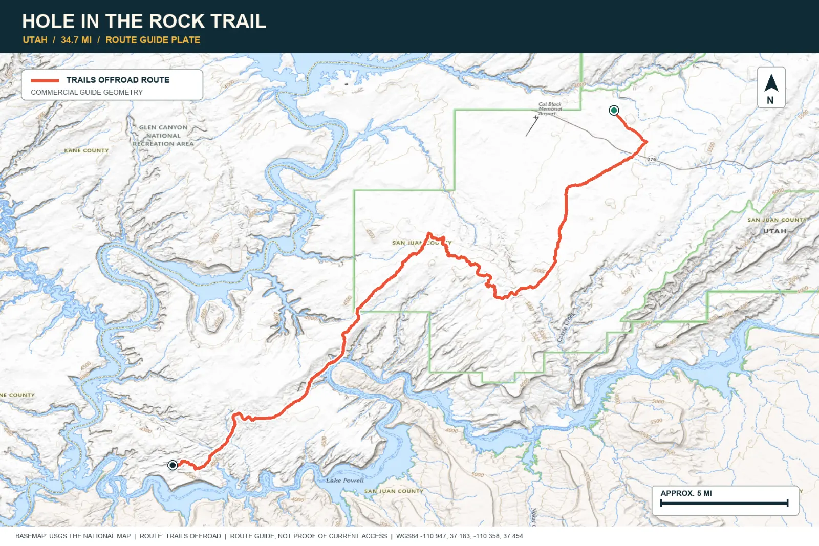
Hole in the Rock Trail
- Route distance
- 34.7 mi
- Allow
- 2–3 days
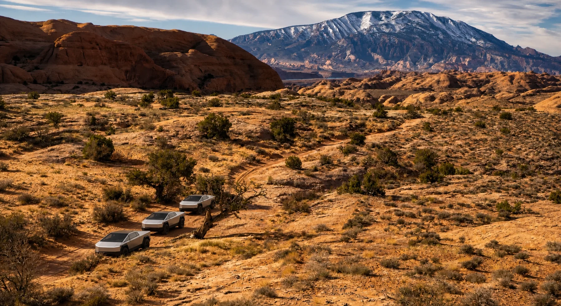
Use this stage only with technical desert experience, a capable vehicle, and a complete recovery and charging plan.
TOPOGRAPHIC PROFILE
Hole in the Rock Trail, from start to finish
- Climb
- +1,652 ft
- Descent
- −1,943 ft
Elevation sampled from AWS Terrain Tiles along the published route. Small terrain and GPS differences are normal.
ROUTE READINESS
Do seven checks before you leave pavement.
surface
Desert dirt, sand, wash crossings, and later rock ledges
clearance
Extra clearance for all stages; technical clearance for the final stage
remoteness
The second and third stages are far from help
charging
Verify both the approach and the return before each remote route
cell Coverage
Carry every route and permit offline
weather
Avoid extreme heat and any flash-flood risk
turnaround
Use written energy, water, tire, and daylight checkpoints
BEFORE YOU GO
Make these decisions while you have a signal.
- Check permits and current road reports
- Carry more water than the planned day requires
- Plan each route from a verified charger
TURN AROUND WHEN
Follow the limits that you set.
- Tires dig into sand
- A wash shows fresh water or storm debris
- The route uses the emergency reserve
CARRY
Prepare for common problems.
- Shovel and traction boards
- Compressor and complete tire repair
- Satellite communicator, water, and shade
OPEN THE LIVE MAP
Check the drive home.
See the route with open chargers and road-distance charging gaps. Planned stations do not change current coverage.