Current fast charger
A station that the source reports as open. Only open stations change the charging-distance colors.
GLOSSARY
These definitions explain the charging, road, and trail terms that EV Backroads uses.
MAP LANGUAGE
Coverage does not confirm access, charger operation, weather, or remaining battery. Check the operator and road authority before you leave.
A station that the source reports as open. Only open stations change the charging-distance colors.
A planned station or a station under construction. It does not change current charging coverage.
The shortest driving distance to a matching open charger. It is not a straight line from a charger pin.
A road area in one of the selected distance bands. The distance follows roads to a matching open charger.
Land where the routing data has no driveable road. The hatch gives road context. It does not show charging distance.
A local road system that has no permanent road connection to the continental network. Some fly-in communities have these roads.
The lowest charger output that the map can use. The unit is kilowatts (kW).
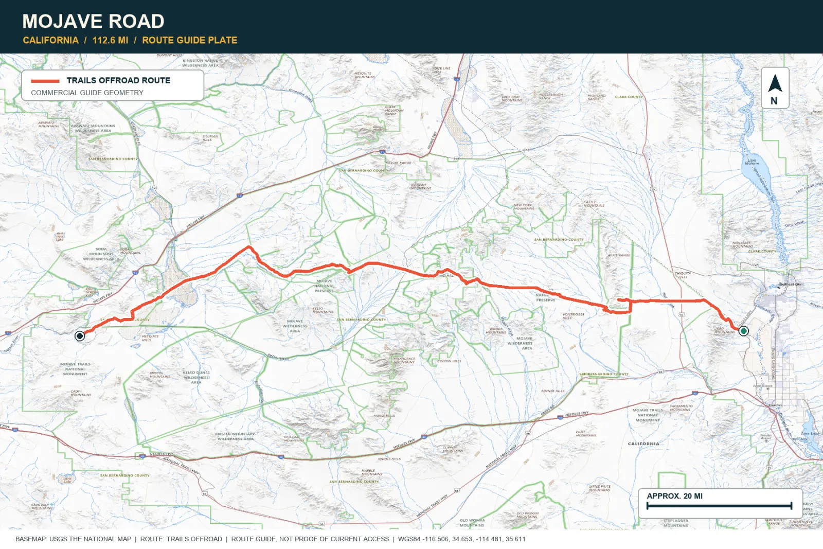
A complete trail path from the Offroad America story. The map shows this path above the charging layers.
A public set of approved community trails, waypoints, and dispersed campsites. An editor checks each submission before publication.