A ten-skill field course
Ten Roads to Confidence
Choose one road near you. Practice one skill. Build from a first gravel drive to a remote expedition.
Ten roads across the United States teach tire placement, energy checks, exposure decisions, offline travel, and self-sufficiency.
Start at the first skill that you do not know
You do not need to drive all ten roads. Choose a road near you. Use the road to practice one skill.
The road numbers show a skill progression. They do not show a technical difficulty rating. Do not select a later road only because its number is higher.
Check the land manager and the current Trails Offroad report before travel. Do not enter a closed road.
FIND ONE NEAR YOU
Ten regions. Ten practice roads.
Choose a road near you. Start with the first skill that you do not know.
Currahee!
Georgia · Southeast
Short graded gravel road
Learn the vehicle on gravel
Pole Line Green
Pennsylvania · Northeast
Beginner route in a private off-road park
Put each tire in the correct place
Meridian Road
Michigan · Great Lakes
Forest road with soft sand
Manage soft sand
Shafer Trail
Utah · Mountain West
Shelf road with switchbacks
Make a decision before exposure
Spearfish Mountain
South Dakota · Northern Plains
Short forest road with a fixed end point
Work without a mobile signal
Old Ore Road
Texas · Southwest
Remote desert road through Big Bend
Check energy use at fixed points
Bethel Ridge
Washington · Pacific Northwest
Seasonal ridge road with changing conditions
Use a turnaround limit
Mojave Road
California · Desert West
Long remote desert route
Plan a trip with more than one travel day
Owyhee Uplands Backcountry Byway
Idaho · Interior West
Remote backcountry byway of approximately 103 miles
Use checkpoints in remote terrain
McCarthy Road
Alaska · Far North
Remote 60-mile wilderness road
Make every critical system independent
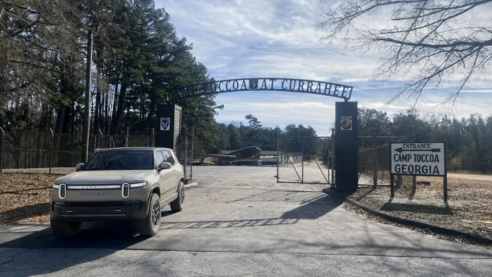
ROAD 01 · Southeast · Georgia
Currahee!: Learn the vehicle on gravel
The route is a short drive on graded gravel. Trails Offroad states that four-wheel drive is not necessary in normal conditions.
Why this road
Start on a road that gives you time to learn. Listen to the tires. Feel the steering. Watch how regenerative braking changes on loose gravel.
Practice this skill
01 · Set a low speed before the gravel starts.
02 · Make small steering movements.
03 · Check the energy display at the start and at the end.
04 · Stop in a safe place if the vehicle feels different.
Continue when
You can keep a steady speed and keep the tires in the track that you select.
Source photograph: Trails Offroad. AI-edited EV edition.
Open the Trails Offroad road profile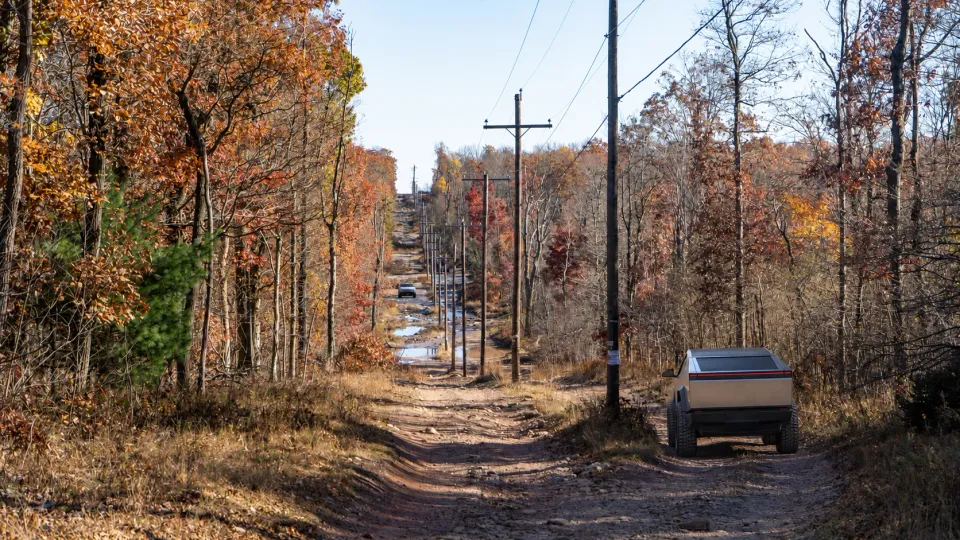
ROAD 02 · Northeast · Pennsylvania
Pole Line Green: Put each tire in the correct place
The park route has controlled beginner obstacles. It includes descents and water crossings.
Why this road
Use a controlled area to learn tire placement. A camera can help you. A spotter can also help you. One spotter must give all signals.
Practice this skill
01 · Stop before each obstacle.
02 · Walk the obstacle if park rules permit this action.
03 · Select a path for all four tires.
04 · Move only when the spotter signal is clear.
Continue when
You can select a tire path before the vehicle moves.
Source photograph: Trails Offroad. AI-edited EV edition.
Open the Trails Offroad road profile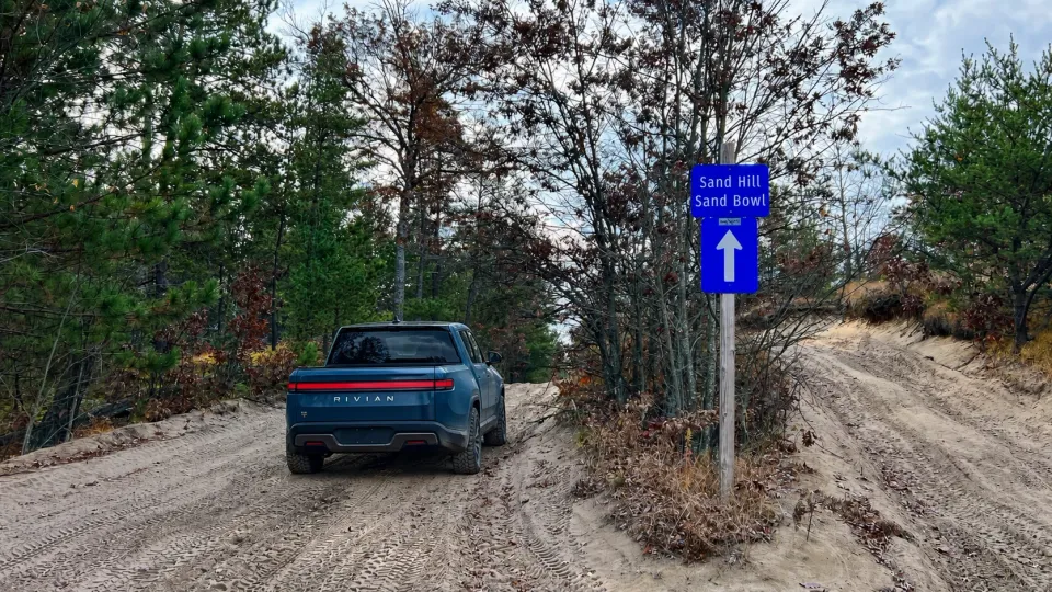
ROAD 03 · Great Lakes · Michigan
Meridian Road: Manage soft sand
The road has areas of soft sand. Trails Offroad warns that two-wheel-drive vehicles can have difficulty.
Why this road
Sand can increase energy use. Sand can also reduce tire grip. Learn how the surface changes the vehicle before you use a remote sandy road.
Practice this skill
01 · Use only a tire pressure that the vehicle maker permits.
02 · Record the tire pressure and battery charge before the road.
03 · Use smooth acceleration.
04 · Stop if the tires start to spin.
05 · Set the correct tire pressure before highway travel.
Continue when
You can identify soft sand early and keep the vehicle moving without tire spin.
Source photograph: Trails Offroad. AI-edited EV edition.
Open the Trails Offroad road profile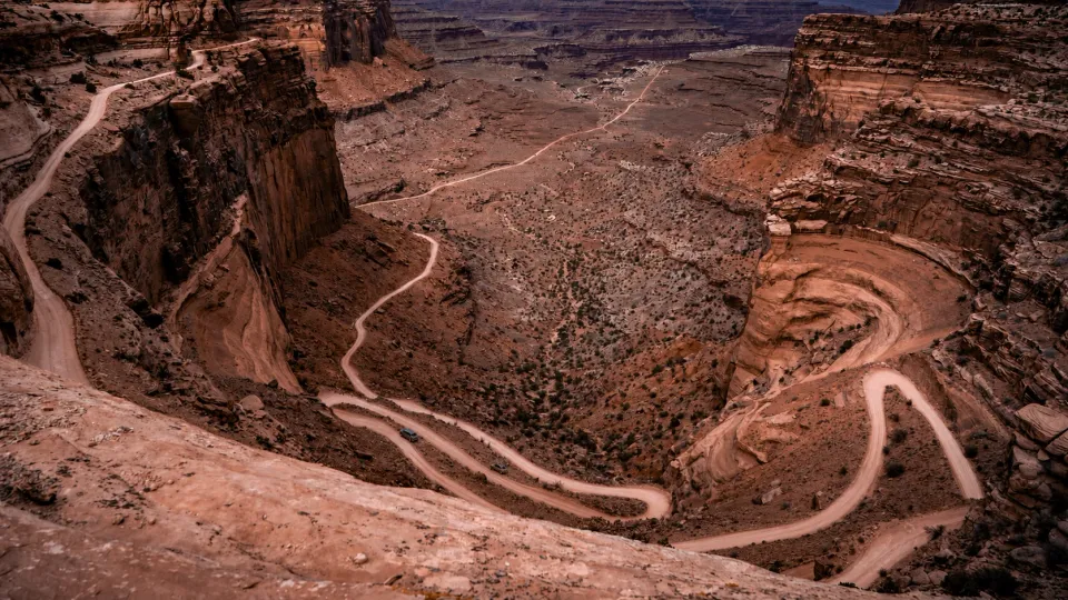
ROAD 04 · Mountain West · Utah
Shafer Trail: Make a decision before exposure
The road is known for steep switchbacks and large views. The exposure can be difficult even when the road surface is easy.
Why this road
Technical difficulty and driver comfort are different. Make the exposure decision before you enter the shelf road. Do not use the road to test your fear limit.
Practice this skill
01 · Review the road images before the trip.
02 · Set an exposure limit with all passengers.
03 · Use a legal pullout if you must stop.
04 · Do not stop in a blind switchback.
Continue when
You can stop the plan before exposure becomes a hazard.
Source photograph: Trails Offroad. AI-edited EV edition.
Open the Trails Offroad road profile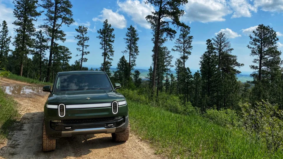
ROAD 05 · Northern Plains · South Dakota
Spearfish Mountain: Work without a mobile signal
The road has erosion and a rocky section. A private gate marks the end of the public route.
Why this road
A short road is a good place to test an offline plan. Save the route, the return road, and the charger location before you leave the mobile signal.
Practice this skill
01 · Download the route and the return map.
02 · Save the charger address and the charger telephone number.
03 · Tell another person your route and return time.
04 · Do not continue through the private gate.
Continue when
You can find the road, the legal end point, and the return route without a mobile signal.
Source photograph: Trails Offroad. AI-edited EV edition.
Open the Trails Offroad road profile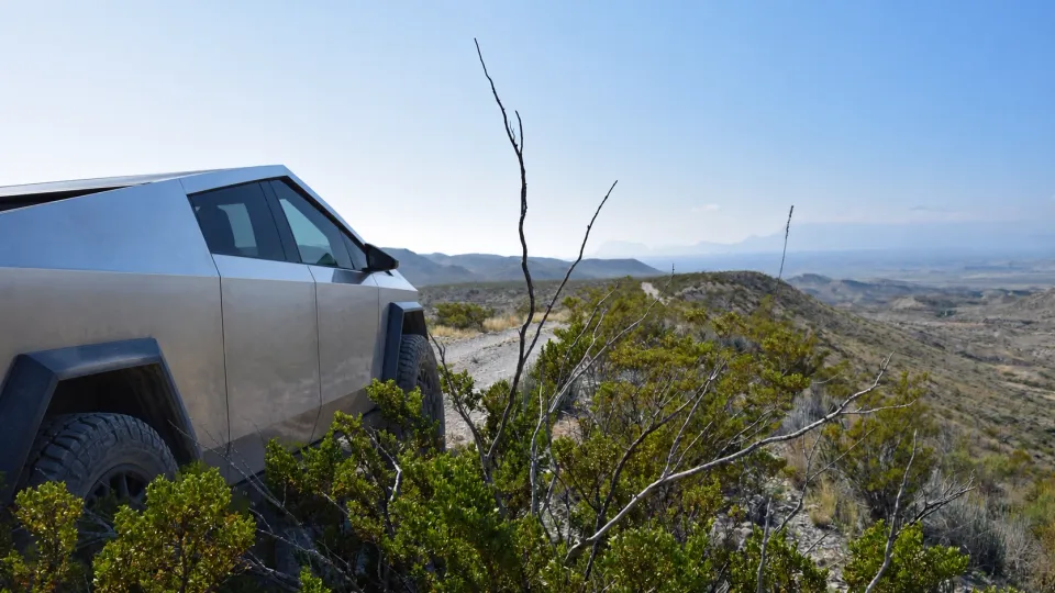
ROAD 06 · Southwest · Texas
Old Ore Road: Check energy use at fixed points
The route crosses remote desert terrain. Surface and weather changes can make the road much more difficult.
Why this road
The range estimate does not describe the road. Use recent energy data. Compare the actual battery charge with the plan at fixed points.
Practice this skill
01 · Record the battery charge and temperature at the trailhead.
02 · Select battery check points before the trip.
03 · Compare the actual charge with the planned charge at each point.
04 · Turn around when the vehicle reaches the return reserve.
Continue when
You can use measured energy data to continue or to turn around.
Source photograph: Trails Offroad. AI-edited EV edition.
Open the Trails Offroad road profile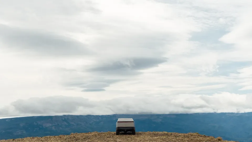
ROAD 07 · Pacific Northwest · Washington
Bethel Ridge: Use a turnaround limit
The seasonal route can have water holes and erosion. Weather can change the surface quickly.
Why this road
A turnaround limit removes debate from a difficult moment. Set the battery, time, and weather limits before the road. Use the first limit that you reach.
Practice this skill
01 · Write the battery limit.
02 · Write the time limit.
03 · Write the weather limit.
04 · Turn around immediately when you reach one limit.
Continue when
You can turn around without delay when a written limit tells you to stop.
Source photograph: Trails Offroad. AI-edited EV edition.
Open the Trails Offroad road profile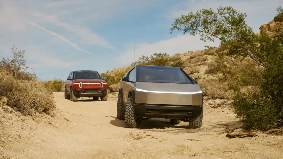
ROAD 08 · Desert West · California
Mojave Road: Plan a trip with more than one travel day
The historic route crosses remote desert terrain. Sand and washes can change after weather events.
Why this road
A long route needs more than one good charger. Confirm the entry, exit, water, camp, and communication plan. Give each critical item a second option.
Practice this skill
01 · Confirm the last charger before the road.
02 · Confirm the first charger after the road.
03 · Select a primary exit and a backup exit.
04 · Carry water, tire repair equipment, and a satellite communicator.
Continue when
One charger, one exit, or one communication failure does not remove your safe return plan.
Source photograph: Trails Offroad. AI-edited EV edition.
Open the Trails Offroad road profile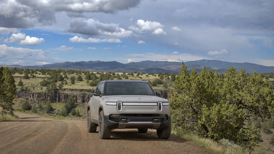
ROAD 09 · Interior West · Idaho
Owyhee Uplands Backcountry Byway: Use checkpoints in remote terrain
The byway crosses a large remote area. Services and mobile signals are limited.
Why this road
A checkpoint shows if the trip still agrees with the plan. Record the location, time, battery charge, weather, and vehicle condition at each checkpoint.
Practice this skill
01 · Select each checkpoint before the trip.
02 · Write the planned arrival time and battery charge for each point.
03 · Record the actual values when you arrive.
04 · Use the backup exit if two values do not agree with the plan.
Continue when
You can find a small problem before it becomes an emergency.
Source photograph: Trails Offroad. AI-edited EV edition.
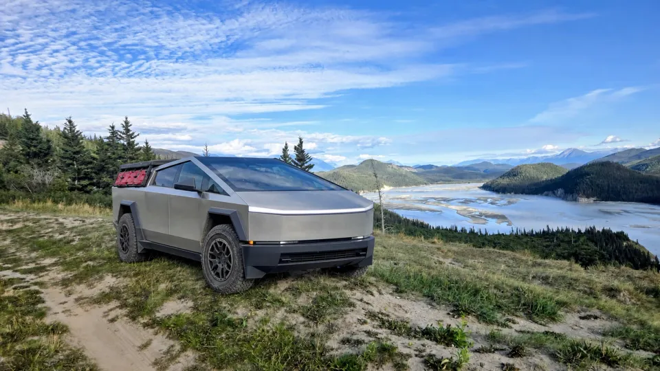
Open the Trails Offroad road profileROAD 10 · Far North · Alaska
McCarthy Road: Make every critical system independent
The road is remote and has limited services. Potholes, washboard, weather, and road work can change travel time.
Why this road
Self-sufficiency does not mean that you travel alone. It means that one failed service does not remove your safe return. Make a backup for each critical system.
Practice this skill
01 · Carry a complete tire repair system and a usable spare tire.
02 · Carry a satellite communicator, food, water, and warm layers.
03 · Confirm the charging and lodging plan before the trip.
04 · Give every critical service a backup.
Continue when
A tire, charger, mobile signal, or lodging failure does not remove your safe exit.
Source photograph: Trails Offroad. AI-edited EV edition.
Open the Trails Offroad road profile