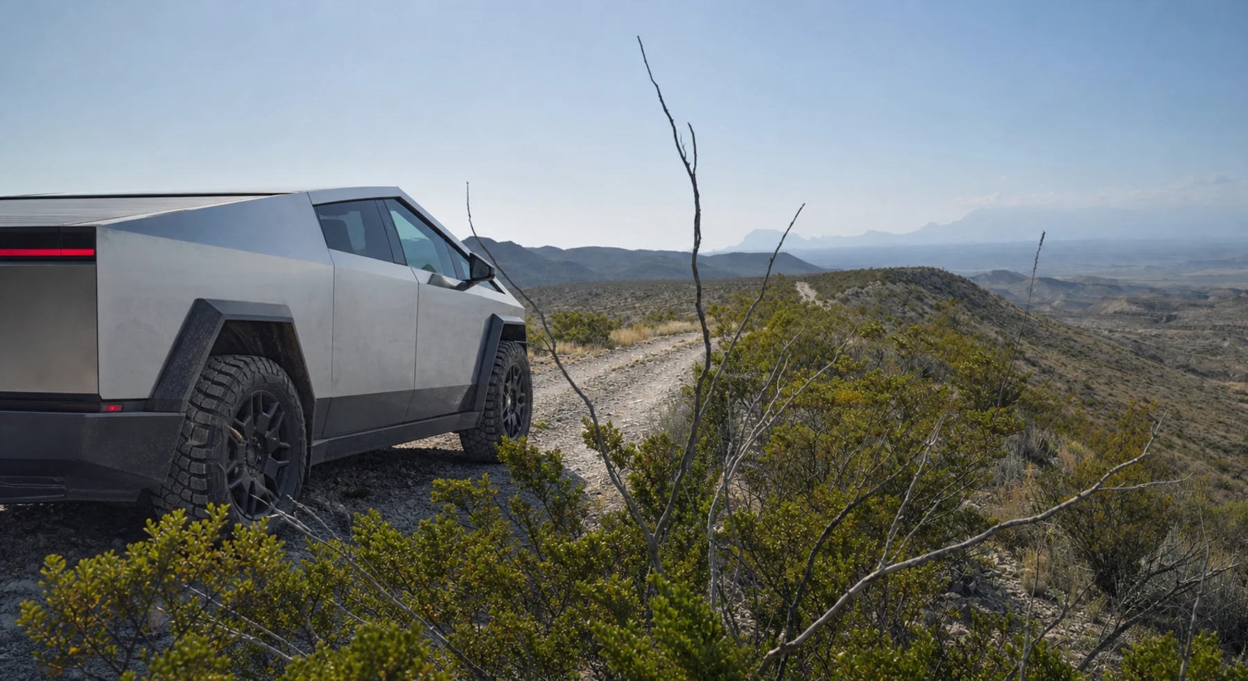

ADVENTURE ROUTE COLLECTION · TEXAS
Big Bend: Desert Roads Progression
Use eight desert roads in and near Big Bend. Start with short park roads. Add longer, rougher, and more remote routes in separate stages.
WHY IT FITS
Why this progression can fit your trip.
The first routes teach desert travel near paved roads. Later stages add wash crossings, longer distances, and fewer exit options.
ROUTE PROGRESSION
Add one skill at a time.
Drive only the stages that fit your vehicle, experience, weather, and current access. A later stage is not a required finish.
Dagger Flat Auto Trail
- Route distance
- 7.6 mi
- Allow
- 1–2 hours
Start on a short park road. Use it to check heat, dust, tire pressure, and map use.
Access note: Source snapshot: Open. Check the live source before travel.
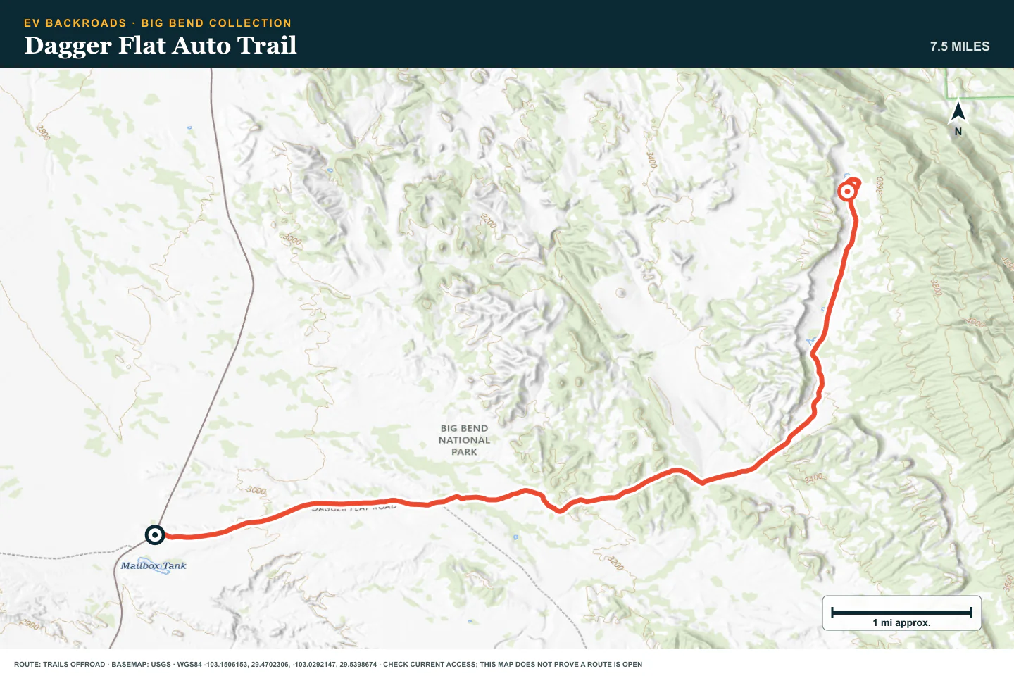
TOPOGRAPHIC PROFILE
Dagger Flat Auto Trail, from start to finish
- Climb
- +646 ft
- Descent
- −99 ft
Elevation sampled from AWS Terrain Tiles along the published route. Small terrain and GPS differences are normal.
Grapevine Hills Road
- Route distance
- 7.7 mi
- Allow
- 1–2 hours
Add another short out-and-back. Keep the speed low where washboard or loose gravel reduces control.
Access note: Source snapshot: Open. Check the live source before travel.
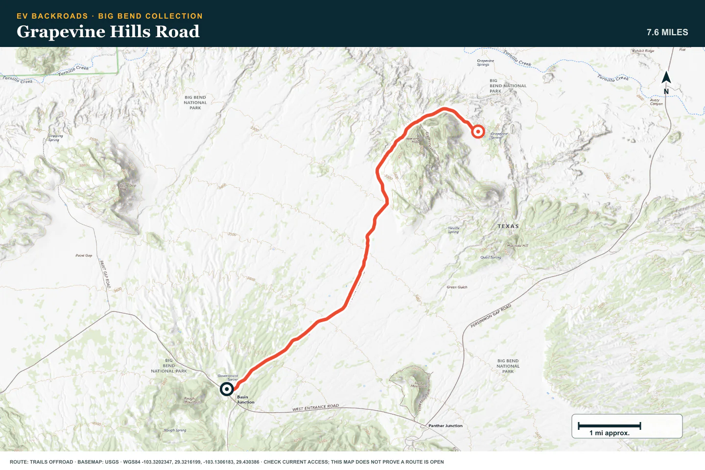
TOPOGRAPHIC PROFILE
Grapevine Hills Road, from start to finish
- Climb
- +10 ft
- Descent
- −879 ft
Elevation sampled from AWS Terrain Tiles along the published route. Small terrain and GPS differences are normal.
Old Maverick Road
- Route distance
- 12.8 mi
- Allow
- 2–3 hours
Use this longer road to practice dust spacing, tire checks, and a firm turnaround time.
Access note: Source snapshot: Open. Check the live source before travel.
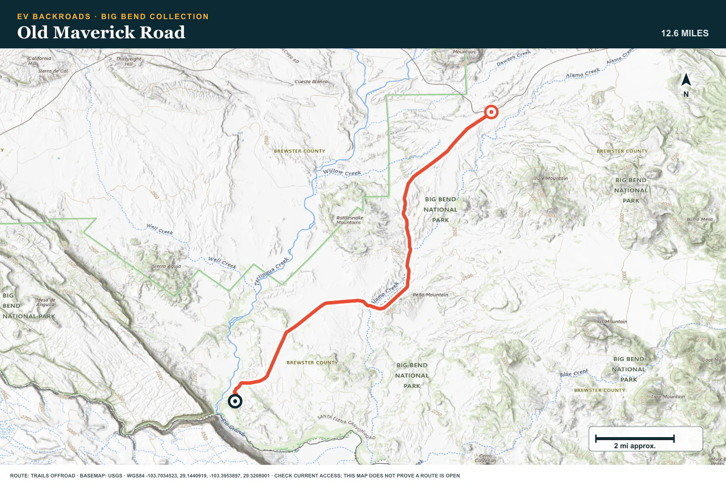
TOPOGRAPHIC PROFILE
Old Maverick Road, from start to finish
- Climb
- +640 ft
- Descent
- −76 ft
Elevation sampled from AWS Terrain Tiles along the published route. Small terrain and GPS differences are normal.
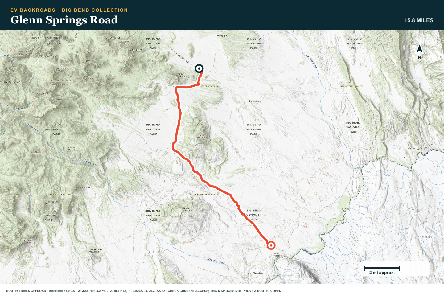
Glenn Springs Road
- Route distance
- 16 mi
- Allow
- Half day
Add a longer backcountry road. Confirm the complete route and any current restrictions before you start.
Access note: Source snapshot: Open. Check the live source before travel.
TOPOGRAPHIC PROFILE
Glenn Springs Road, from start to finish
- Climb
- +420 ft
- Descent
- −1,547 ft
Elevation sampled from AWS Terrain Tiles along the published route. Small terrain and GPS differences are normal.
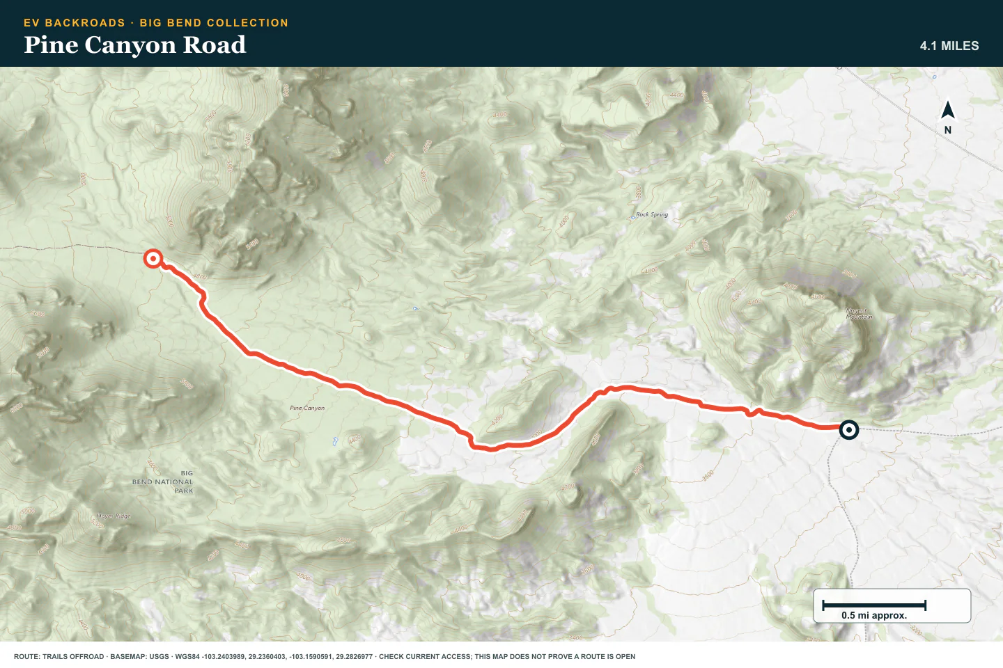
Pine Canyon Road
- Route distance
- 4.2 mi
- Allow
- Half day
Add rougher ground on an out-and-back. Stop before erosion or rock exceeds your clearance.
Access note: Source snapshot: Open. Check the live source before travel.
TOPOGRAPHIC PROFILE
Pine Canyon Road, from start to finish
- Climb
- +1,344 ft
- Descent
- −0 ft
Elevation sampled from AWS Terrain Tiles along the published route. Small terrain and GPS differences are normal.
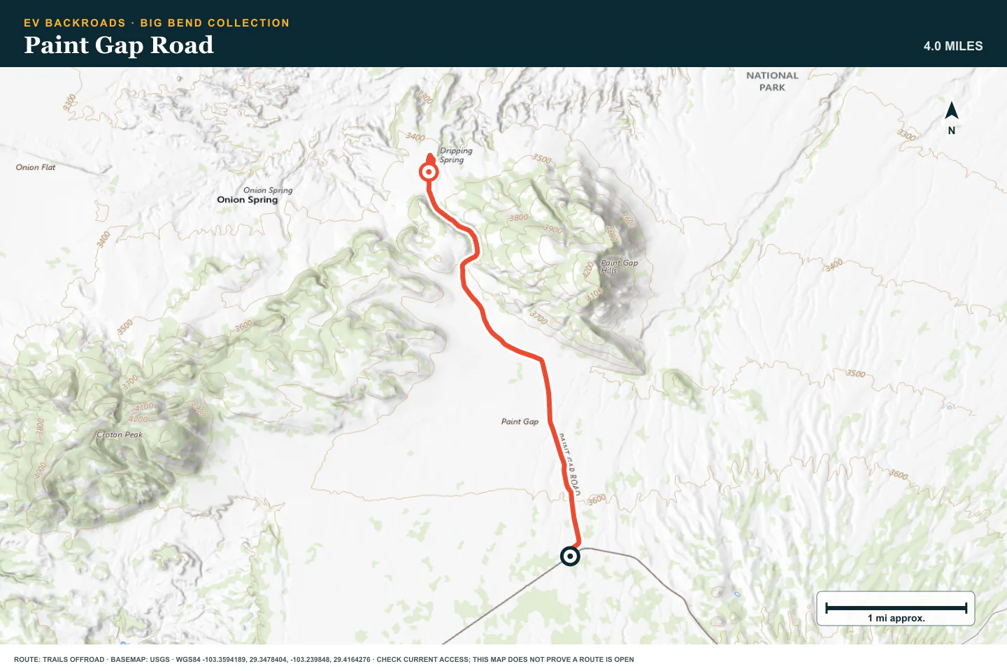
Paint Gap Road
- Route distance
- 4 mi
- Allow
- Half day
Use this route to practice route confirmation and wash inspection. Do not drive around a closure or damaged section.
Access note: Source snapshot: Open. Check the live source before travel.
TOPOGRAPHIC PROFILE
Paint Gap Road, from start to finish
- Climb
- +99 ft
- Descent
- −315 ft
Elevation sampled from AWS Terrain Tiles along the published route. Small terrain and GPS differences are normal.
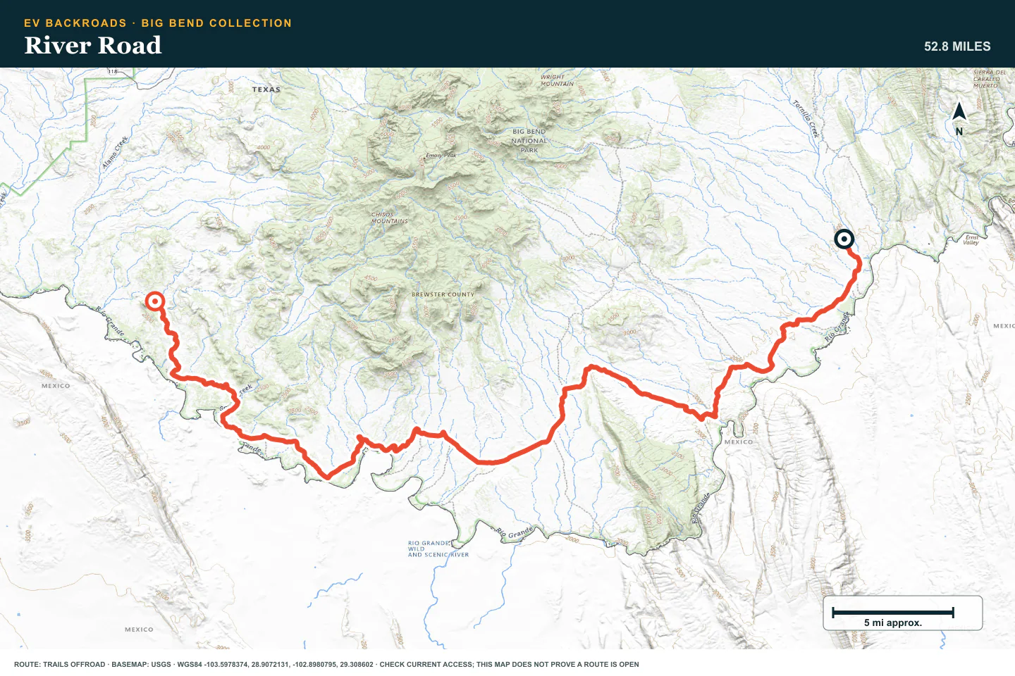
River Road
- Route distance
- 53.5 mi
- Allow
- Full day
Plan River Road as a remote full-day route. Carry the water, tire equipment, and communication needed for a delay.
Access note: Source snapshot: Open. Check the live source before travel.
TOPOGRAPHIC PROFILE
River Road, from start to finish
- Climb
- +1,234 ft
- Descent
- −856 ft
Elevation sampled from AWS Terrain Tiles along the published route. Small terrain and GPS differences are normal.
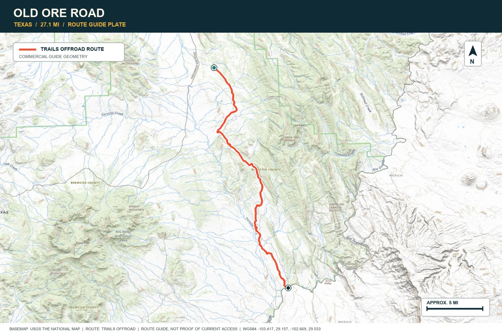
Old Ore Road
- Route distance
- 27.1 mi
- Allow
- Full day
Keep Old Ore Road as the final stage. Use current park information and a vehicle that fits the complete route.
Access note: CLOSED until further notice after thunderstorms created unsafe conditions. Associated backcountry campsites are also closed.
TOPOGRAPHIC PROFILE
Old Ore Road, from start to finish
- Climb
- +520 ft
- Descent
- −1,585 ft
Elevation sampled from AWS Terrain Tiles along the published route. Small terrain and GPS differences are normal.
ROUTE READINESS
Do seven checks before you leave pavement.
surface
Desert dirt, gravel, wash crossings, and embedded rock
clearance
Extra clearance for the later roads
remoteness
Water, shade, recovery, and communication are part of the route plan
charging
Plan the paved approach and return before you enter the park backcountry
cell Coverage
Treat service outside developed areas as unavailable
weather
Do not enter a wash when rain can reach it
turnaround
Use written energy, water, tire, and daylight limits
BEFORE YOU GO
Make these decisions while you have a signal.
- Check Big Bend access and permit rules
- Carry more water than the planned day needs
- Download the route and charger plan
TURN AROUND WHEN
Follow the limits that you set.
- A wash has moving water or fresh storm debris
- Heat or tire condition exceeds the plan
- The return reserve reaches its limit
CARRY
Prepare for common problems.
- Water, shade, and first-aid supplies
- Two tire repair options and a compressor
- Satellite communication and offline maps
OPEN THE LIVE MAP
Check the drive home.
See the route with open chargers and road-distance charging gaps. Planned stations do not change current coverage.