
ADVENTURE ROUTE COLLECTION · ALASKA
Alaska: Gravel-to-Glacier Progression
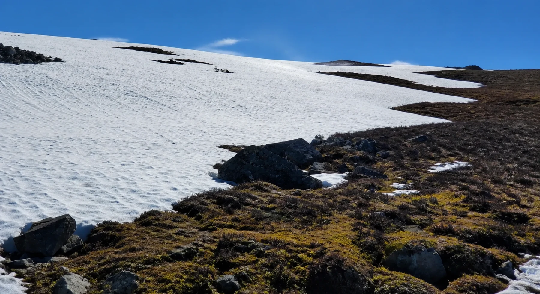
Use five routes near Anchorage and the Mat-Su Valley before the long expedition roads. Keep the glacier approach as the technical final stage.
WHY IT FITS
Why this progression can fit your trip.
The local routes let you test cold-weather systems, gravel, sand, and rough climbs. Denali Highway and McCarthy Road then add expedition distance.
ROUTE PROGRESSION
Add one skill at a time.
Drive only the stages that fit your vehicle, experience, weather, and current access. A later stage is not a required finish.
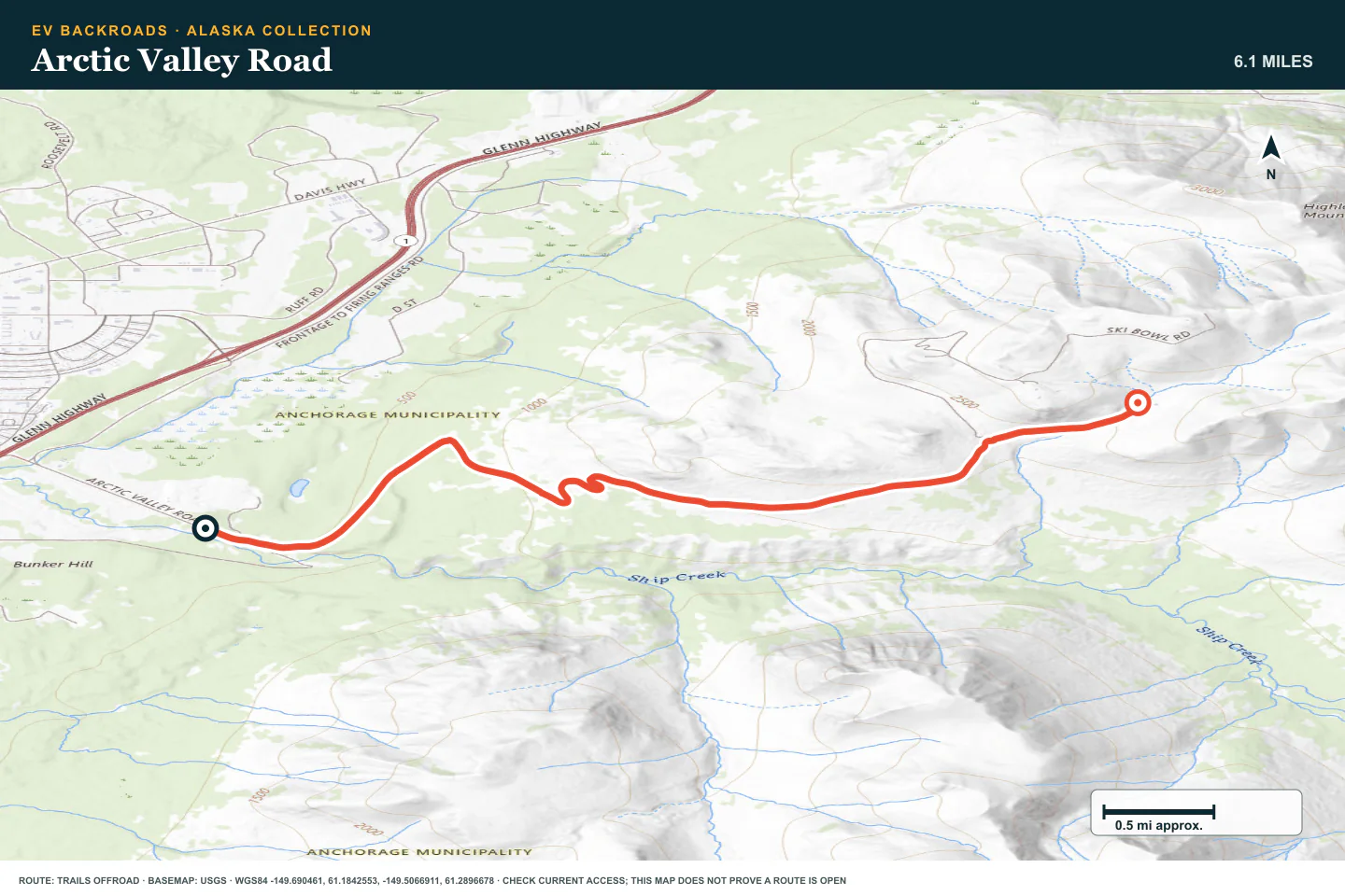
Arctic Valley Road
- Route distance
- 6.7 mi
- Allow
- 1–2 hours
Start near Anchorage. Use the climb to compare energy use uphill and regeneration downhill.
Access note: Source snapshot: Open. Check the live source before travel.
TOPOGRAPHIC PROFILE
Arctic Valley Road, from start to finish
- Climb
- +2,254 ft
- Descent
- −37 ft
Elevation sampled from AWS Terrain Tiles along the published route. Small terrain and GPS differences are normal.
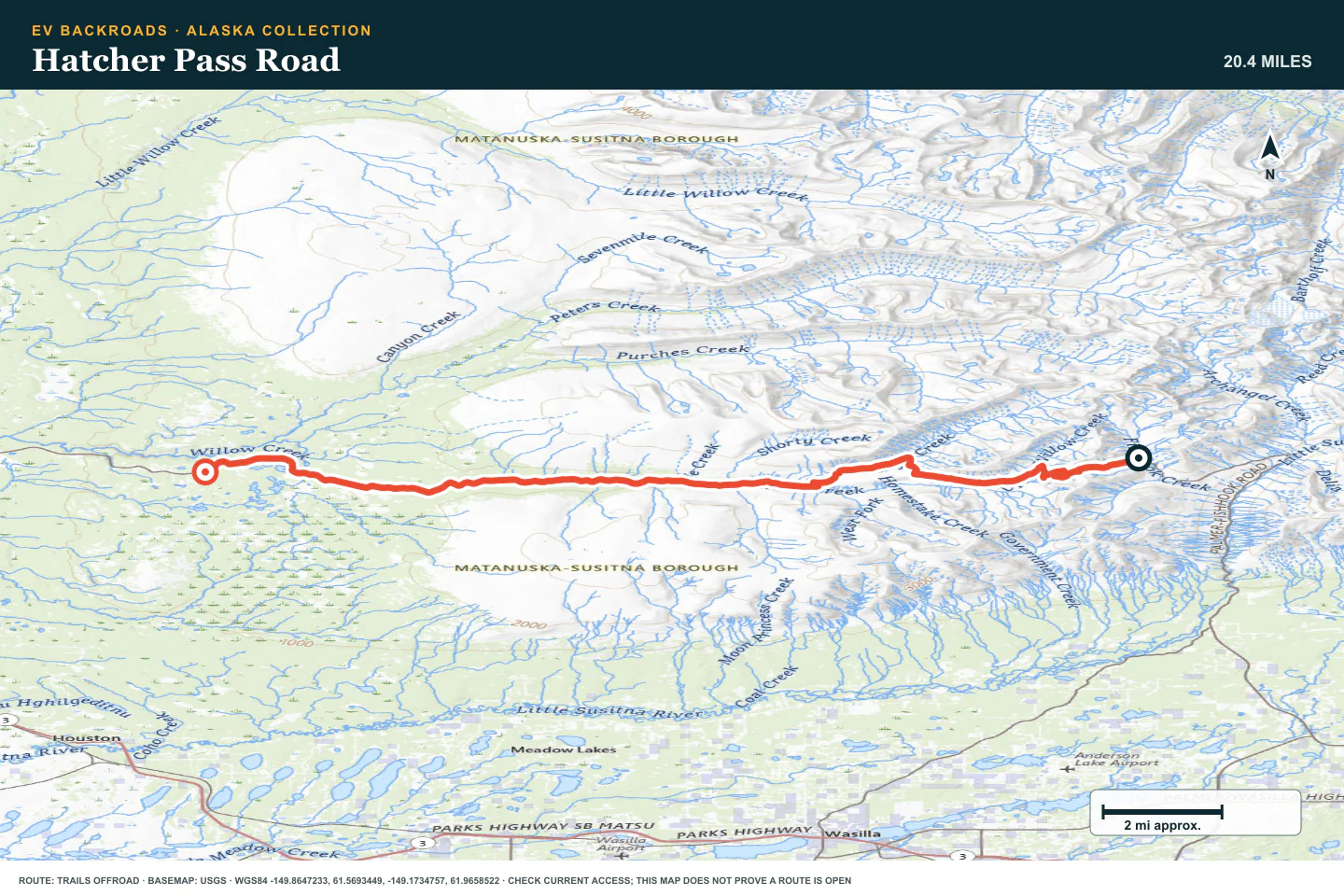
Hatcher Pass Road
- Route distance
- 22.5 mi
- Allow
- Half day
Add a seasonal pass road. Check the gate, weather, and road surface before you leave pavement.
Access note: Source snapshot: Seasonal Closure. Check the live source before travel.
TOPOGRAPHIC PROFILE
Hatcher Pass Road, from start to finish
- Climb
- +897 ft
- Descent
- −2,488 ft
Elevation sampled from AWS Terrain Tiles along the published route. Small terrain and GPS differences are normal.
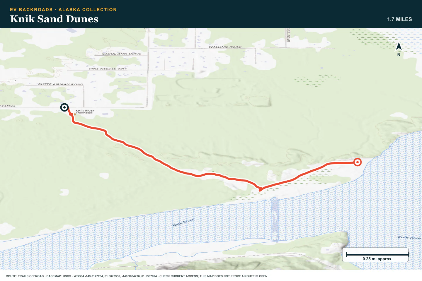
Knik Sand Dunes
- Route distance
- 1.8 mi
- Allow
- 2–3 hours
Use the dunes to learn how soft ground changes energy use and steering. Turn back before the tires dig in.
Access note: Source snapshot: Open. Check the live source before travel.
TOPOGRAPHIC PROFILE
Knik Sand Dunes, from start to finish
- Climb
- +25 ft
- Descent
- −36 ft
Elevation sampled from AWS Terrain Tiles along the published route. Small terrain and GPS differences are normal.
Denali Highway
- Route distance
- 150 mi
- Allow
- 1–2 days
Use the long gravel highway to validate tire, charging, cold-weather, and communication systems.
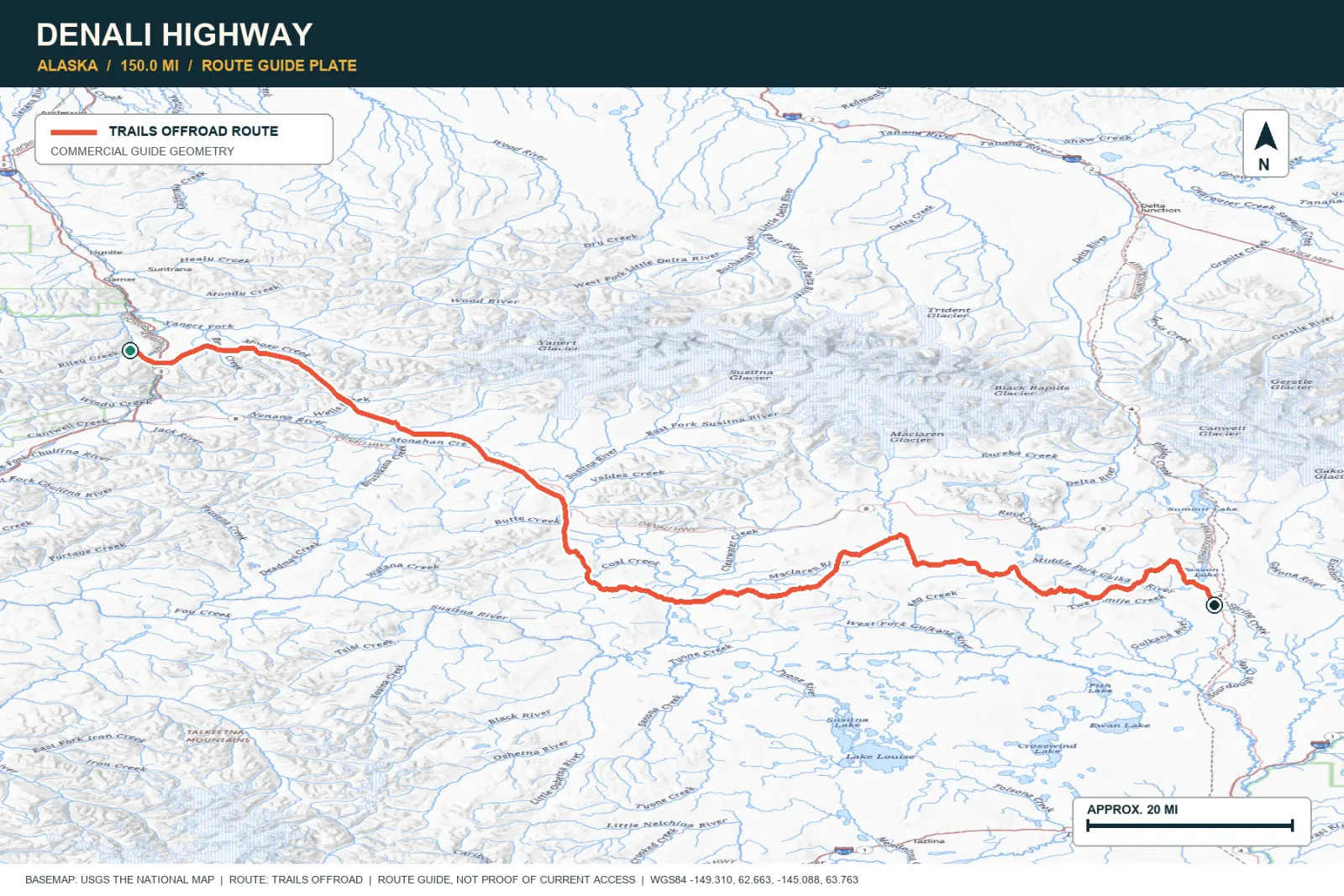
TOPOGRAPHIC PROFILE
Denali Highway, from start to finish
- Climb
- +4,312 ft
- Descent
- −3,594 ft
Elevation sampled from AWS Terrain Tiles along the published route. Small terrain and GPS differences are normal.
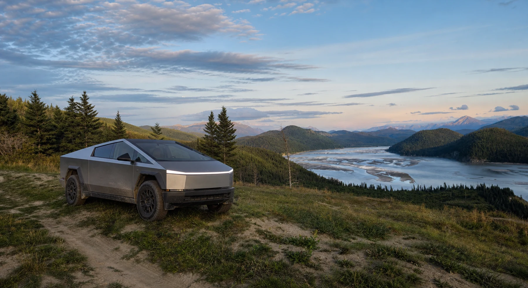
McCarthy Road
- Route distance
- 60 mi
- Allow
- Full day
Add a rougher historic road with no services along the route. Slow down for sharp rock, bridge approaches, and wet sections.
Access note: OPEN for public travel at the latest Alaska DOT update, with fair-to-difficult conditions, soft shoulders, wet rough roadway, and no services along the route.
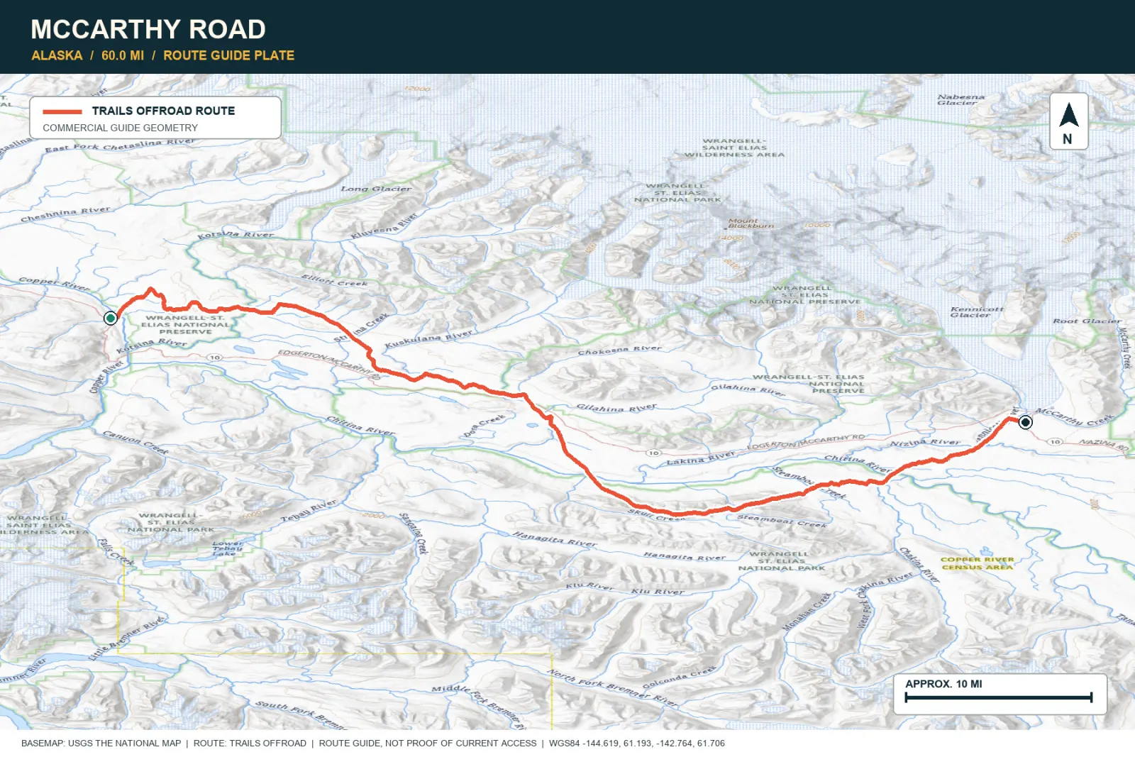
TOPOGRAPHIC PROFILE
McCarthy Road, from start to finish
- Climb
- +1,447 ft
- Descent
- −657 ft
Elevation sampled from AWS Terrain Tiles along the published route. Small terrain and GPS differences are normal.
Craigie Creek Road
- Route distance
- 4.7 mi
- Allow
- Half day
Return to the Mat-Su area for a rough mountain road. Walk washed or narrow sections before you drive them.
Access note: Source snapshot: Open. Check the live source before travel.
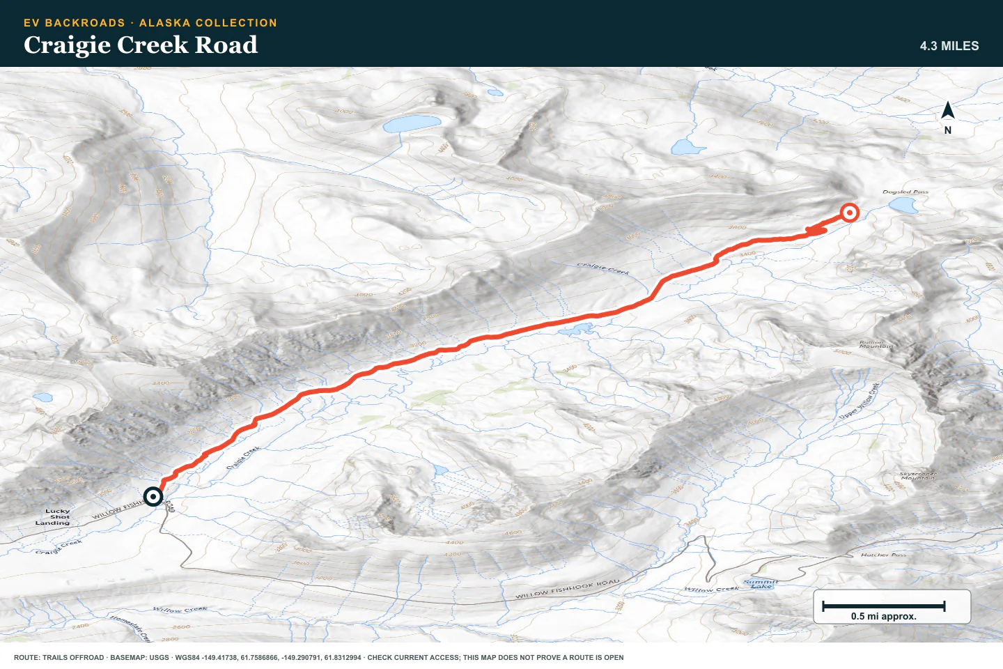
TOPOGRAPHIC PROFILE
Craigie Creek Road, from start to finish
- Climb
- +2,431 ft
- Descent
- −1,156 ft
Elevation sampled from AWS Terrain Tiles along the published route. Small terrain and GPS differences are normal.
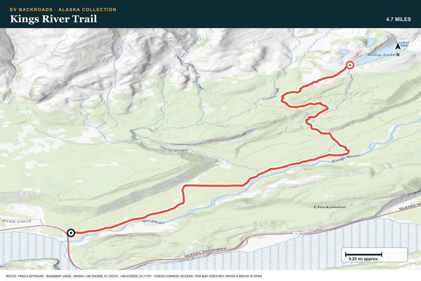
Kings River Trail
- Route distance
- 5.1 mi
- Allow
- Half day
Add a longer local trail with changing access. Use only the open route and protect the return reserve.
Access note: Source snapshot: Partially Open. Check the live source before travel.
TOPOGRAPHIC PROFILE
Kings River Trail, from start to finish
- Climb
- +920 ft
- Descent
- −7 ft
Elevation sampled from AWS Terrain Tiles along the published route. Small terrain and GPS differences are normal.
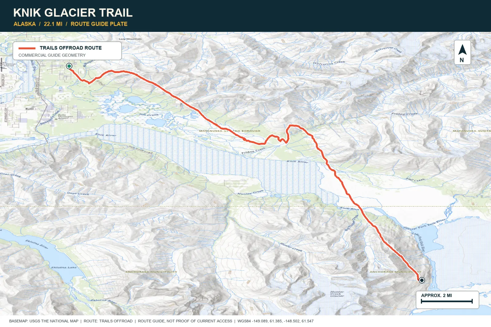
Knik Glacier Trail
- Route distance
- 22.1 mi
- Allow
- Full day
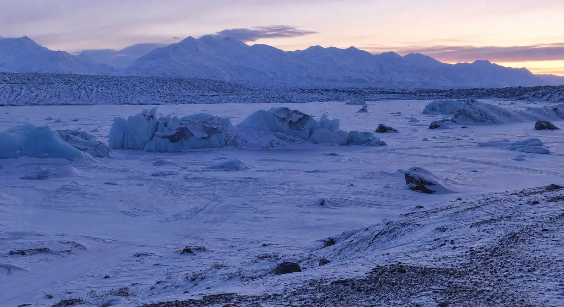
Use the glacier approach only with current local information. Glacial channels move. Do not enter water that you have not checked on foot.
TOPOGRAPHIC PROFILE
Knik Glacier Trail, from start to finish
- Climb
- +194 ft
- Descent
- −84 ft
Elevation sampled from AWS Terrain Tiles along the published route. Small terrain and GPS differences are normal.
ROUTE READINESS
Do seven checks before you leave pavement.
surface
Long gravel, rough railway-grade road, then sand and glacial river crossings
clearance
Strong tires first; high clearance and suitable water capability for the final stage
remoteness
Dependable services can be very far apart
charging
Confirm each critical charger or overnight outlet directly
cell Coverage
Plan for long areas without service
weather
Cold, wind, rain, and early snow change energy use and road condition
turnaround
Every unverified stop and river crossing needs a complete fallback
BEFORE YOU GO
Make these decisions while you have a signal.
- Confirm charging and lodging outlets directly
- Carry a complete tire and cold-weather plan
- Share the itinerary and overdue procedure
TURN AROUND WHEN
Follow the limits that you set.
- A critical charge stop cannot be confirmed
- Cold or headwind breaks the energy plan
- Water, tire damage, or weather spends the emergency reserve
CARRY
Prepare for common problems.
- Full-size spare or equivalent tire plan
- Satellite communicator
- Warm shelter, food, and water
OPEN THE LIVE MAP
Check the drive home.
See the route with open chargers and road-distance charging gaps. Planned stations do not change current coverage.