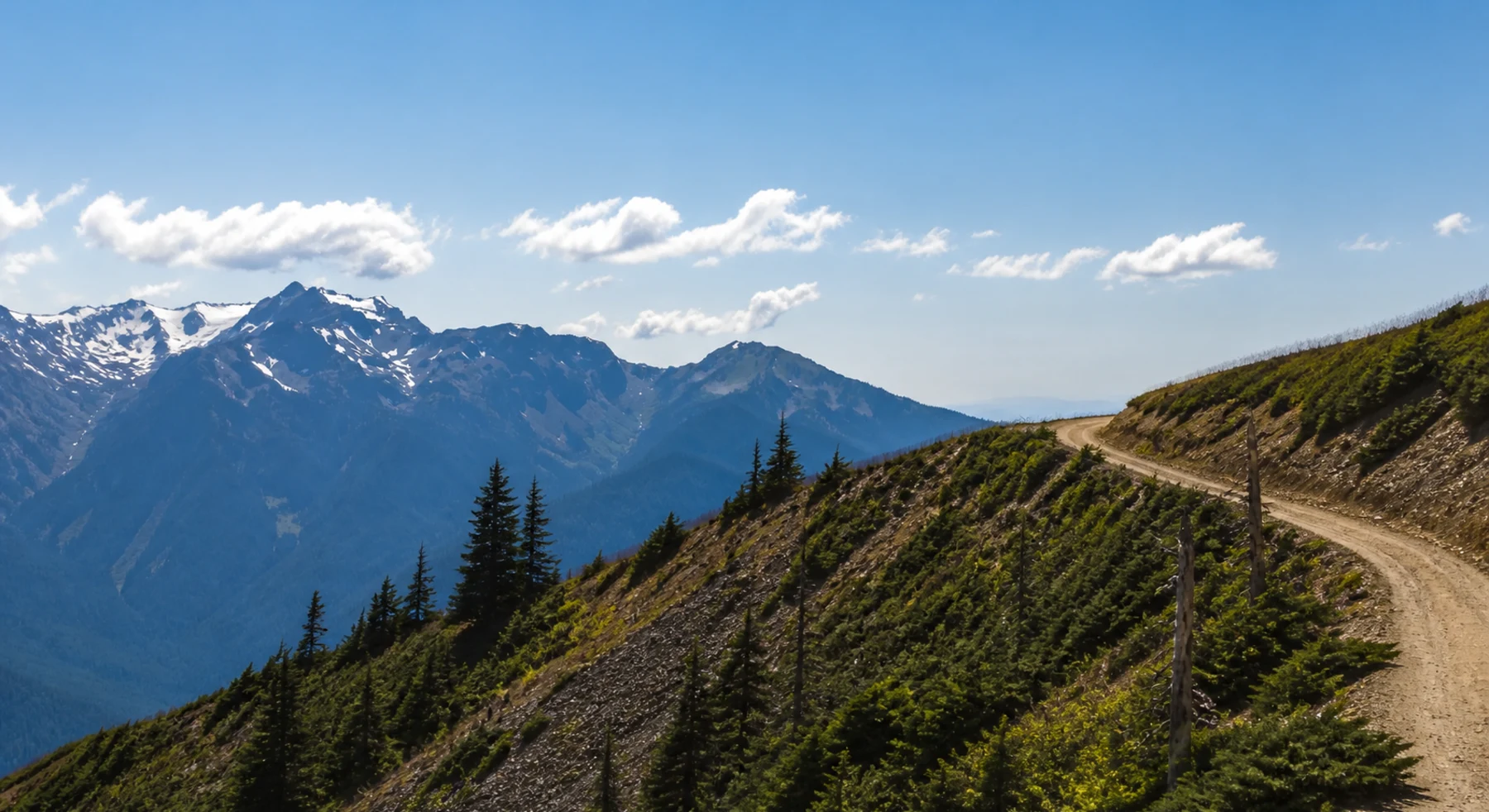

ADVENTURE ROUTE COLLECTION · WASHINGTON
Olympic Peninsula: Mountain Road Progression
Use eight routes on the Olympic Peninsula. Start on short forest roads. Add exposed mountain roads and technical OHV trails later.
WHY IT FITS
Why this progression can fit your trip.
The routes stay on the Olympic Peninsula. You can build road judgment near Port Angeles before you move to the harder Sadie Creek stages.
ROUTE PROGRESSION
Add one skill at a time.
Drive only the stages that fit your vehicle, experience, weather, and current access. A later stage is not a required finish.
Slab Camp Road
- Route distance
- 1.6 mi
- Allow
- 1–2 hours
Start on a short forest road. Check braking, tire pressure, and map use before you climb higher.
Access note: Source snapshot: Open. Check the live source before travel.
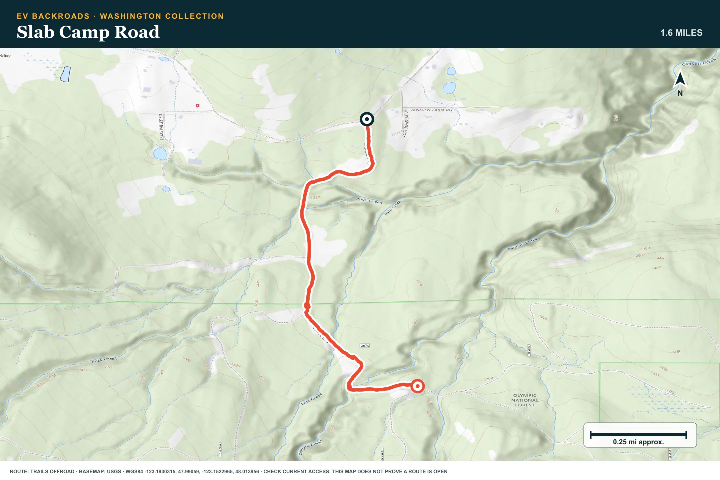
TOPOGRAPHIC PROFILE
Slab Camp Road, from start to finish
- Climb
- +204 ft
- Descent
- −154 ft
Elevation sampled from AWS Terrain Tiles along the published route. Small terrain and GPS differences are normal.
Slab Camp/Deer Ridge Trail
- Route distance
- 3.6 mi
- Allow
- 1–2 hours
Add a second short route near Slab Camp. Use pullouts early and keep the return route clear.
Access note: Source snapshot: Open. Check the live source before travel.
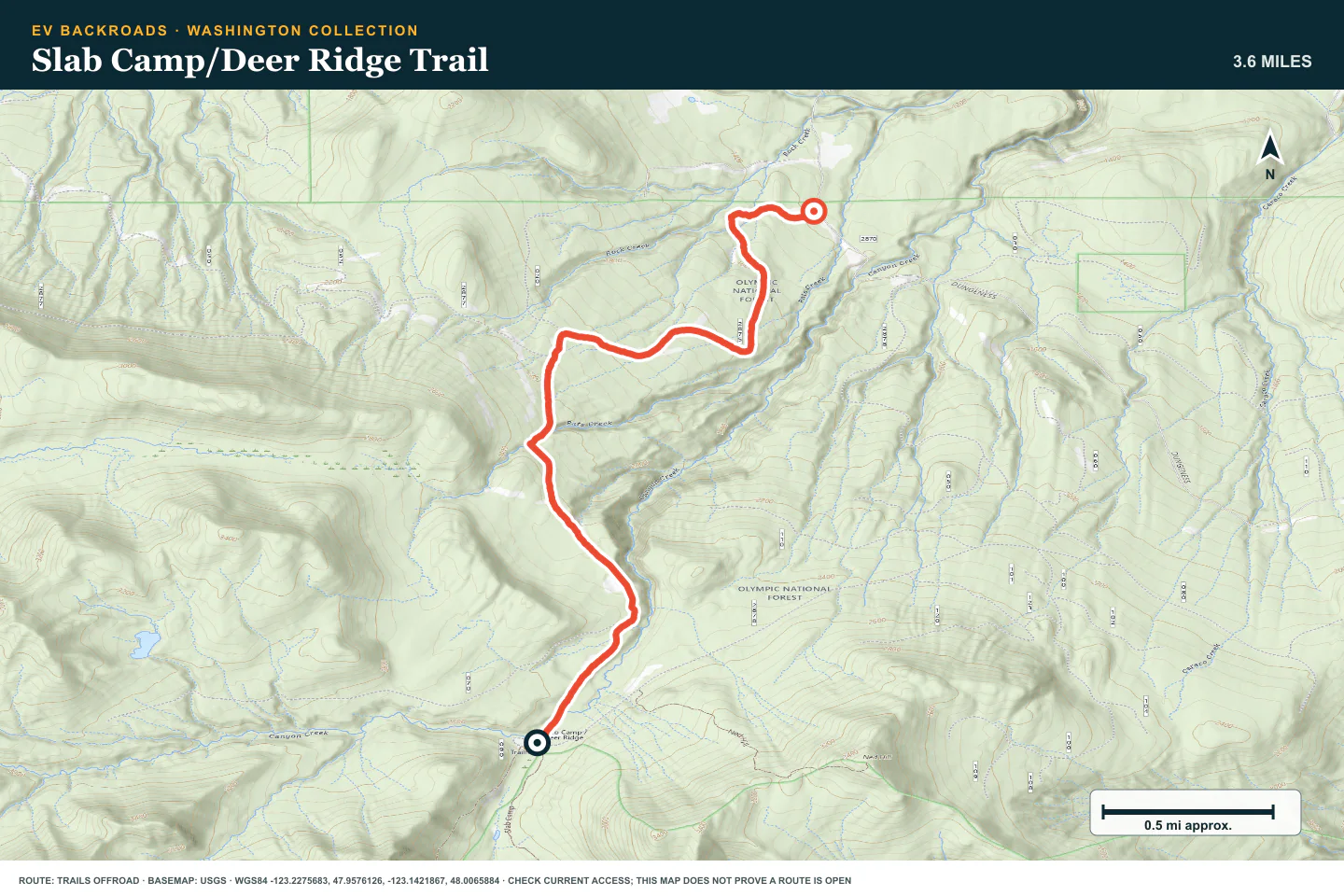
TOPOGRAPHIC PROFILE
Slab Camp/Deer Ridge Trail, from start to finish
- Climb
- +15 ft
- Descent
- −1,165 ft
Elevation sampled from AWS Terrain Tiles along the published route. Small terrain and GPS differences are normal.
NF-2878
- Route distance
- 4.2 mi
- Allow
- 1–2 hours
Use this forest road to practice route confirmation at unsigned junctions. Stop if the legal route is not clear.
Access note: Source snapshot: Open. Check the live source before travel.
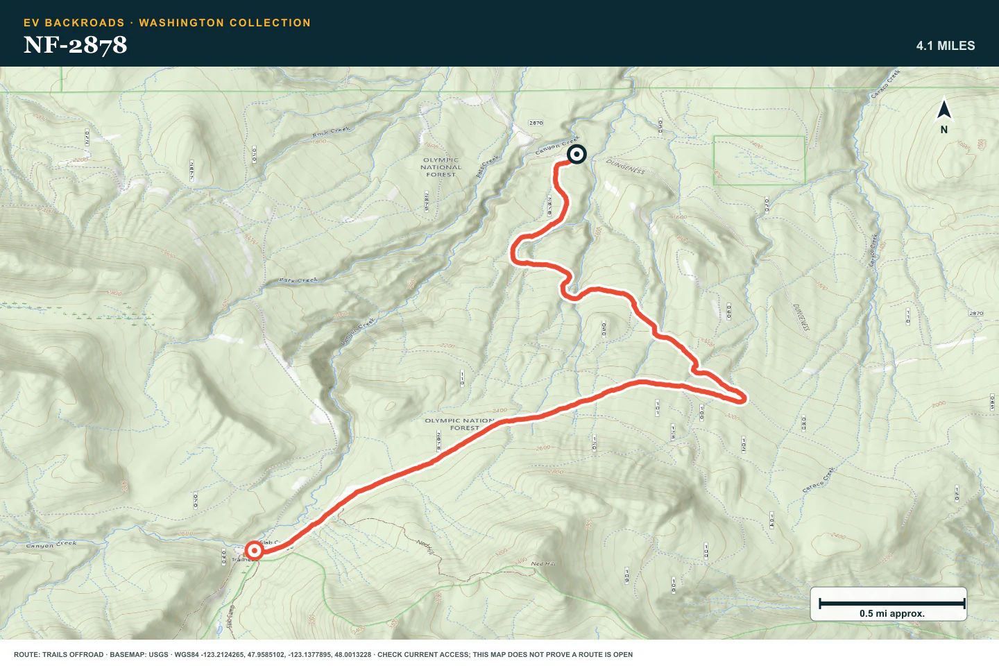
TOPOGRAPHIC PROFILE
NF-2878, from start to finish
- Climb
- +1,168 ft
- Descent
- −37 ft
Elevation sampled from AWS Terrain Tiles along the published route. Small terrain and GPS differences are normal.
Deer Park Road
- Route distance
- 9.6 mi
- Allow
- Half day
Add a longer seasonal mountain road. Use low speed and established pullouts on narrow sections.
Access note: Source snapshot: Seasonal Closure. Check the live source before travel.
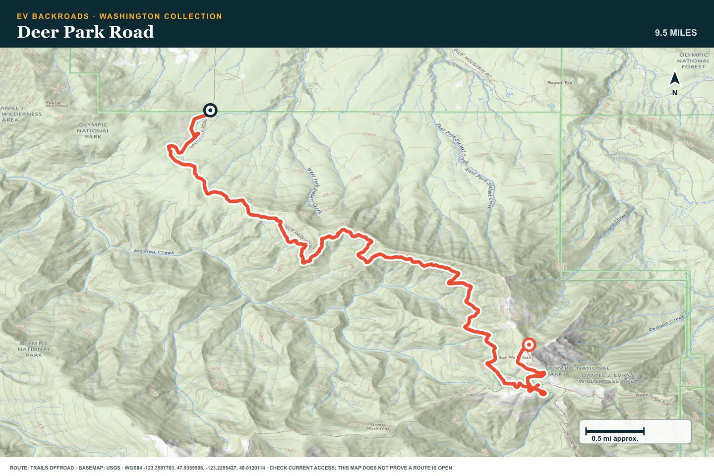
TOPOGRAPHIC PROFILE
Deer Park Road, from start to finish
- Climb
- +3,883 ft
- Descent
- −42 ft
Elevation sampled from AWS Terrain Tiles along the published route. Small terrain and GPS differences are normal.
Obstruction Point Road
- Route distance
- 7.7 mi
- Allow
- Half day
Use this seasonal park road to practice low speed, passing at pullouts, and decisions around exposure.
Access note: OPEN at press time. NPS says the road is unsuitable for RVs, trailers, or buses and is normally weather-dependent from mid-June through Oct. 15.
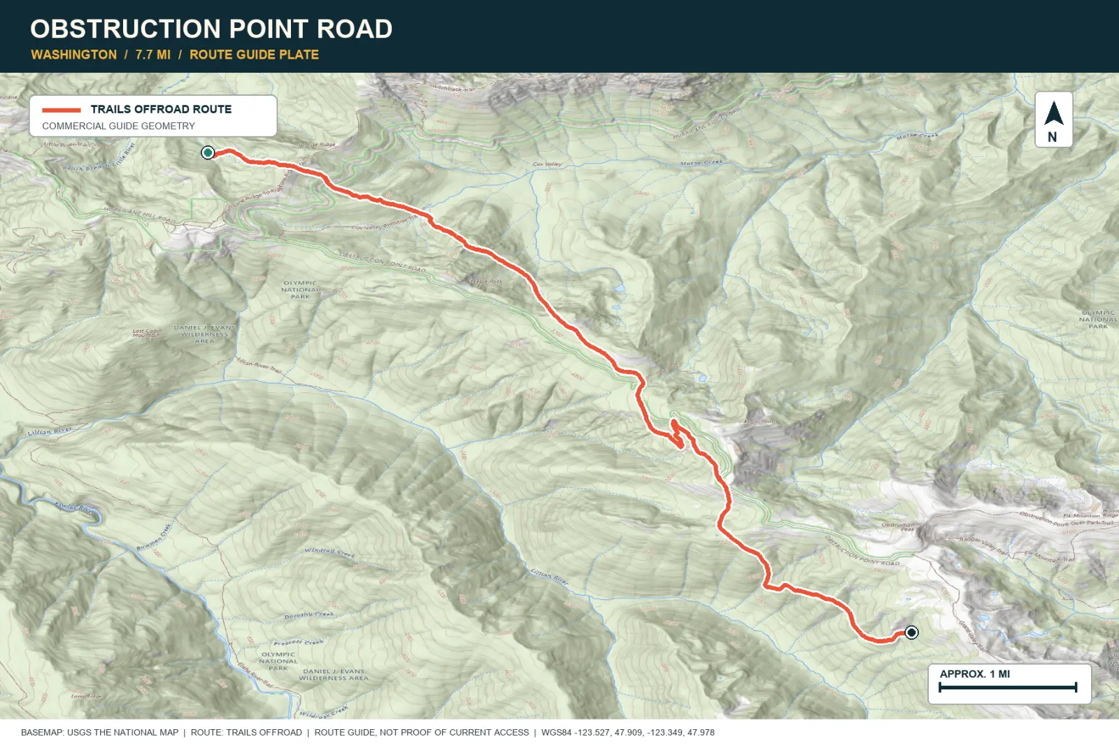
TOPOGRAPHIC PROFILE
Obstruction Point Road, from start to finish
- Climb
- +1,683 ft
- Descent
- −789 ft
Elevation sampled from AWS Terrain Tiles along the published route. Small terrain and GPS differences are normal.
Bon Jon Pass
- Route distance
- 15.5 mi
- Allow
- Half day
Move to a rougher forest pass. Inspect wet or washed sections before you drive them.
Access note: Source snapshot: Open. Check the live source before travel.
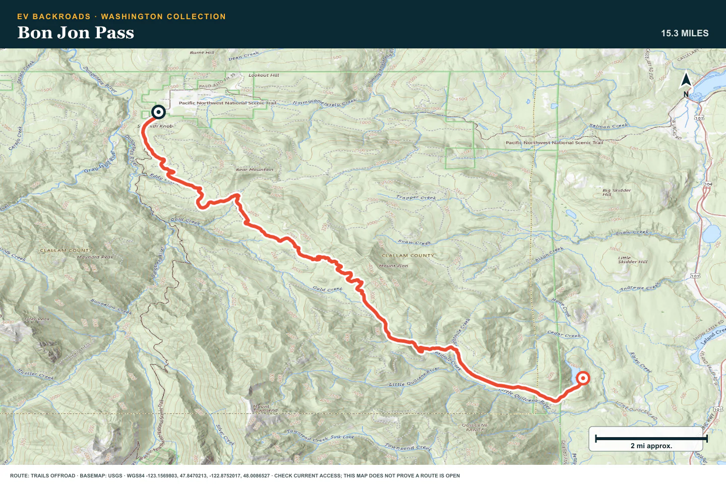
TOPOGRAPHIC PROFILE
Bon Jon Pass, from start to finish
- Climb
- +1,780 ft
- Descent
- −2,239 ft
Elevation sampled from AWS Terrain Tiles along the published route. Small terrain and GPS differences are normal.
Sadie Creek - Black Bear Run
- Route distance
- 1.1 mi
- Allow
- 2–4 hours
Enter the OHV trail only with suitable clearance, tires, and recovery equipment. Walk every uncertain obstacle.
Access note: Source snapshot: Open. Check the live source before travel.
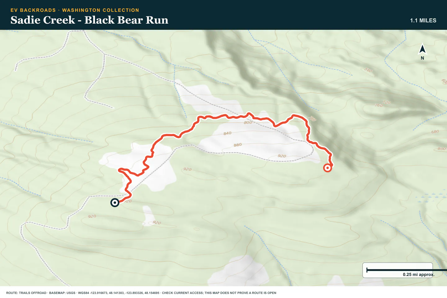
TOPOGRAPHIC PROFILE
Sadie Creek - Black Bear Run, from start to finish
- Climb
- +224 ft
- Descent
- −226 ft
Elevation sampled from AWS Terrain Tiles along the published route. Small terrain and GPS differences are normal.
Sadie Creek - Radiator Hill
- Route distance
- 0.8 mi
- Allow
- 2–4 hours
Use Radiator Hill only after the earlier stages feel controlled. Do not continue when traction requires damage or momentum.
Access note: Source snapshot: Open. Check the live source before travel.
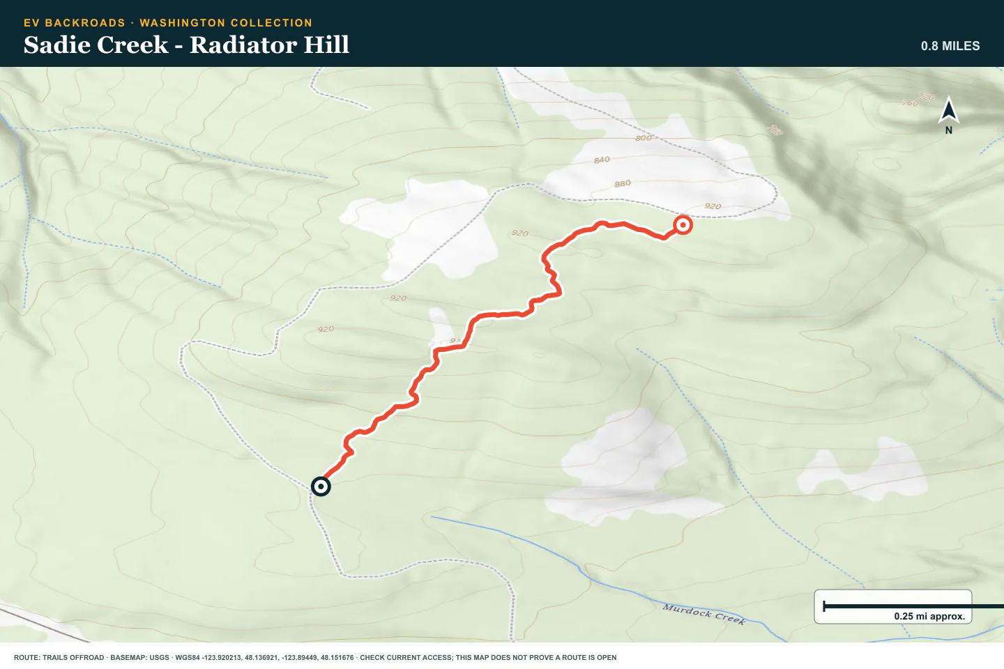
TOPOGRAPHIC PROFILE
Sadie Creek - Radiator Hill, from start to finish
- Climb
- +238 ft
- Descent
- −27 ft
Elevation sampled from AWS Terrain Tiles along the published route. Small terrain and GPS differences are normal.
ROUTE READINESS
Do seven checks before you leave pavement.
surface
Narrow gravel, ridge road, then roots and mud
clearance
Standard crossover clearance for stage one; more clearance for later stages
remoteness
Each route leaves services and dependable cell coverage
charging
Plan each route as a separate out-and-back from a verified charger
cell Coverage
Download maps and access notices for every stage
weather
Mountain cloud, snow, and rain can end the day
turnaround
Stop before visibility, mud, or exposure exceeds the last controlled stage
BEFORE YOU GO
Make these decisions while you have a signal.
- Check each land manager on the day of travel
- Download the Olympic Peninsula route set
- Choose a separate battery limit for each route
TURN AROUND WHEN
Follow the limits that you set.
- Cloud removes the safe sightline
- Mud or snow hides the firm road surface
- A later stage does not feel easier than the previous stage
CARRY
Prepare for common problems.
- Warm waterproof layers
- Tire repair and inflation equipment
- Offline maps and recovery gear
OPEN THE LIVE MAP
Check the drive home.
See the route with open chargers and road-distance charging gaps. Planned stations do not change current coverage.