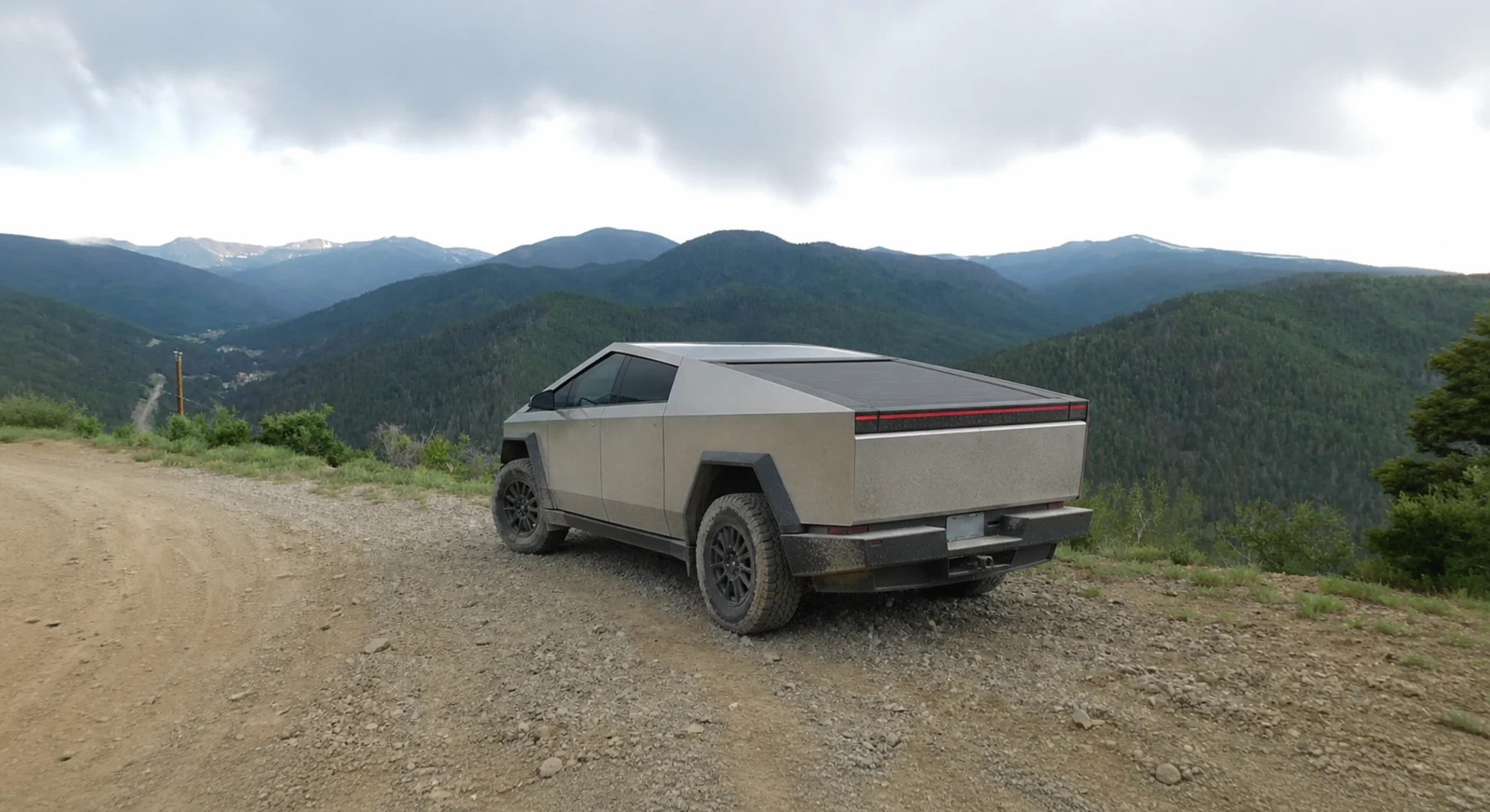

ADVENTURE ROUTE COLLECTION · NEW MEXICO + COLORADO
Sangre de Cristo: High-Country Progression
Choose from eight routes in the Sangre de Cristo Mountains. Start on an easy pass. Add loose climbs, sand, water, and technical rock in separate stages.
WHY IT FITS
Why this progression can fit your trip.
The Red River routes form a local practice set. La Veta and Medano add longer Colorado drives. Blanca Peak is the expert final stage.
ROUTE PROGRESSION
Add one skill at a time.
Drive only the stages that fit your vehicle, experience, weather, and current access. A later stage is not a required finish.
La Veta Pass
- Route distance
- 5.4 mi
- Allow
- 2–3 hours
Start on a short Colorado pass. Check tire pressure, braking, and energy use before the rougher routes.
Access note: Source snapshot: Open. Check the live source before travel.
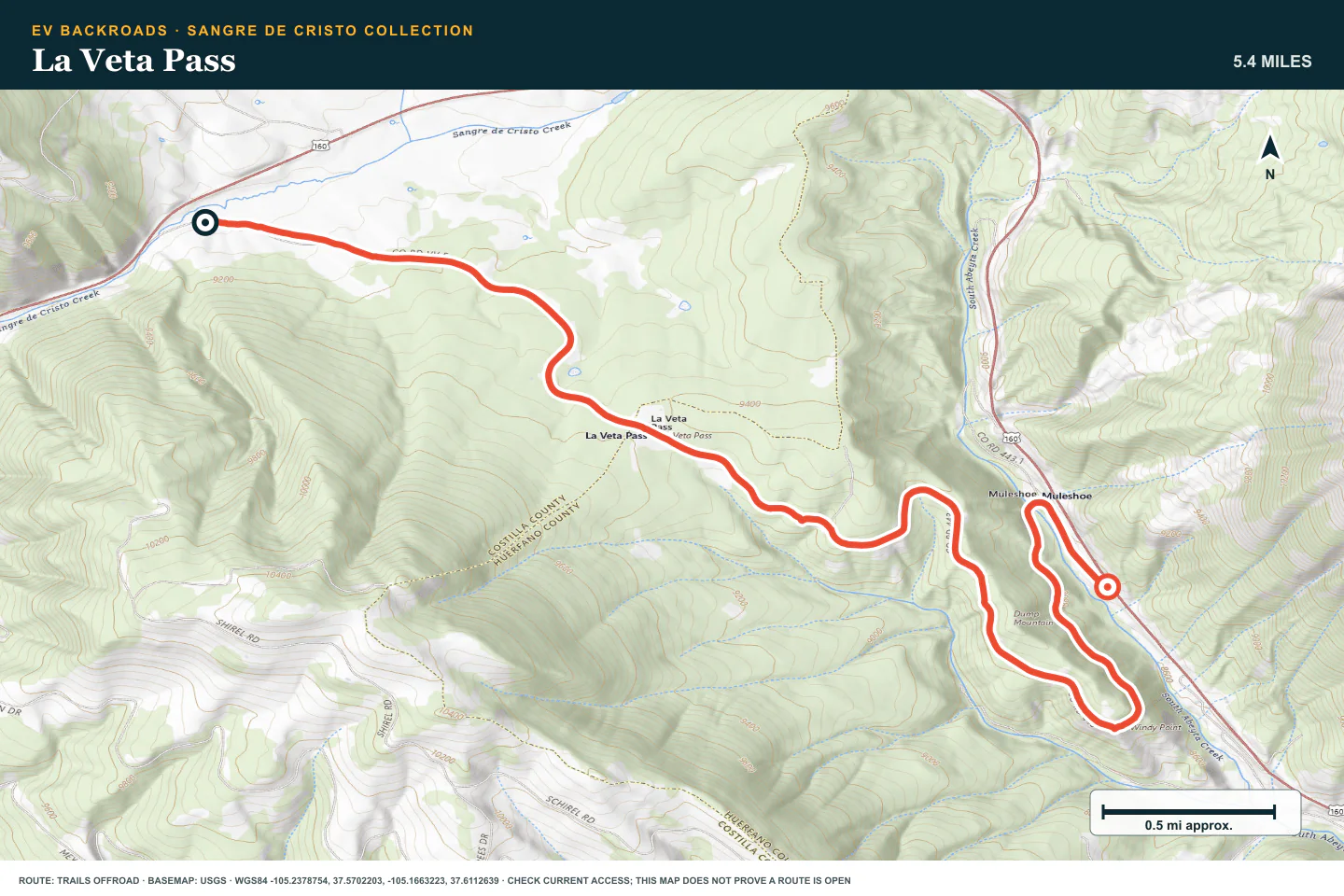
TOPOGRAPHIC PROFILE
La Veta Pass, from start to finish
- Climb
- +347 ft
- Descent
- −681 ft
Elevation sampled from AWS Terrain Tiles along the published route. Small terrain and GPS differences are normal.
Old Red River Pass
- Route distance
- 3.2 mi
- Allow
- 2–3 hours
Use this short New Mexico pass to practice loose climbs, switchbacks, and a deliberate turnaround.
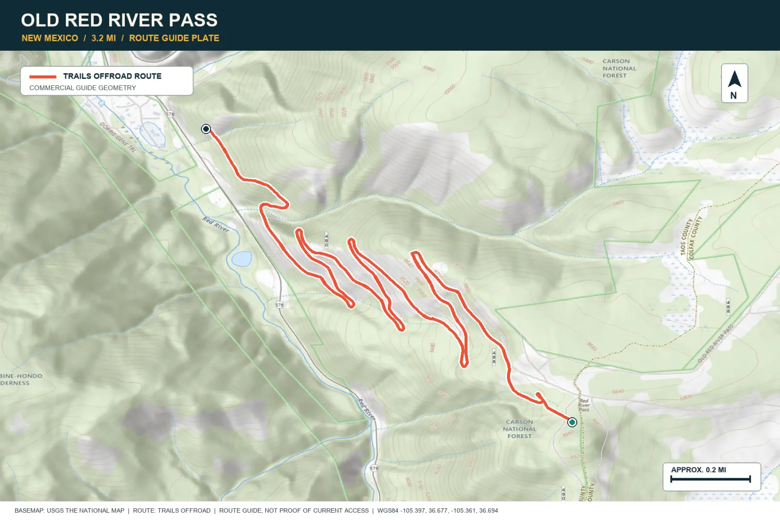
TOPOGRAPHIC PROFILE
Old Red River Pass, from start to finish
- Climb
- +73 ft
- Descent
- −1,094 ft
Elevation sampled from AWS Terrain Tiles along the published route. Small terrain and GPS differences are normal.
Pioneer Creek
- Route distance
- 3.2 mi
- Allow
- 2–3 hours
Add a second Red River route with rougher ground. Walk loose climbs before you commit the vehicle.
Access note: Source snapshot: Open. Check the live source before travel.
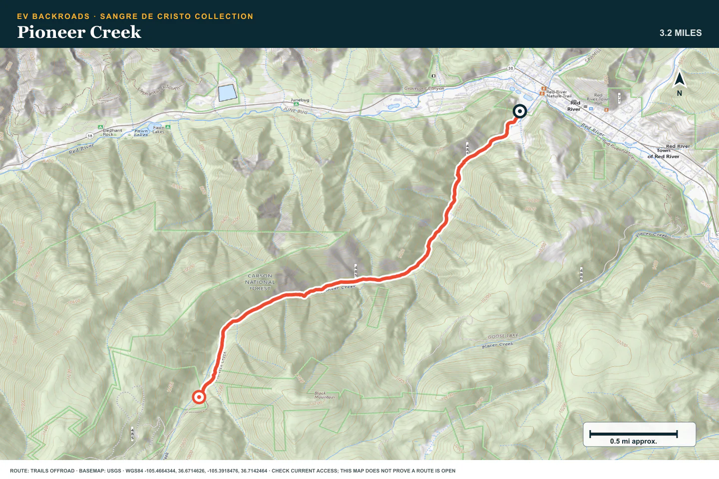
TOPOGRAPHIC PROFILE
Pioneer Creek, from start to finish
- Climb
- +1,451 ft
- Descent
- −35 ft
Elevation sampled from AWS Terrain Tiles along the published route. Small terrain and GPS differences are normal.
Greenie Peak
- Route distance
- 5.9 mi
- Allow
- Half day
Climb higher above Red River. Watch the weather and keep enough energy for the full descent and return.
Access note: Source snapshot: Partially Open. Check the live source before travel.
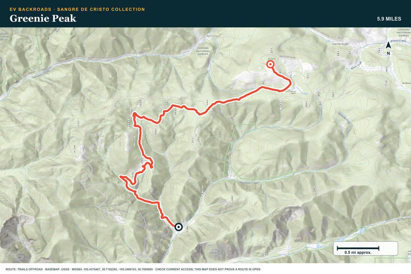
TOPOGRAPHIC PROFILE
Greenie Peak, from start to finish
- Climb
- +2,363 ft
- Descent
- −135 ft
Elevation sampled from AWS Terrain Tiles along the published route. Small terrain and GPS differences are normal.
Medano Pass
- Route distance
- 20 mi
- Allow
- Full day
Add sand, water crossings, and a long point-to-point drive. Check Great Sand Dunes access rules before you go.
Access note: Source snapshot: Open. Check the live source before travel.
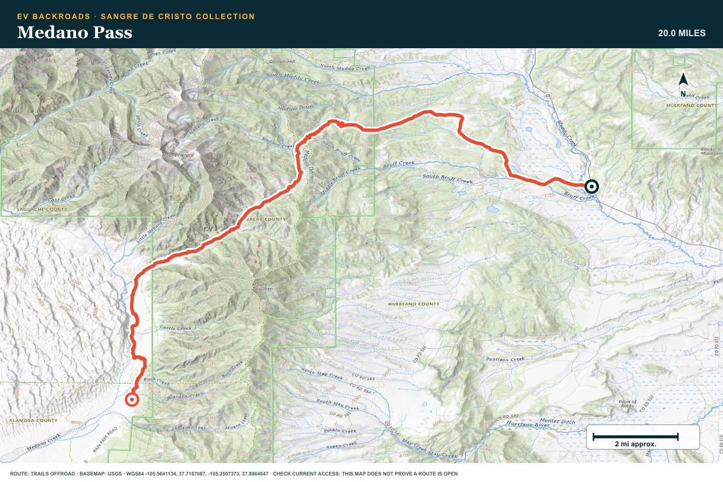
TOPOGRAPHIC PROFILE
Medano Pass, from start to finish
- Climb
- +2,359 ft
- Descent
- −1,802 ft
Elevation sampled from AWS Terrain Tiles along the published route. Small terrain and GPS differences are normal.
Goose Lake
- Route distance
- 7.4 mi
- Allow
- Half day
Use Goose Lake only after the shorter routes feel controlled. Protect the road surface and turn back before wheelspin is necessary.
Access note: Source snapshot: Open. Check the live source before travel.
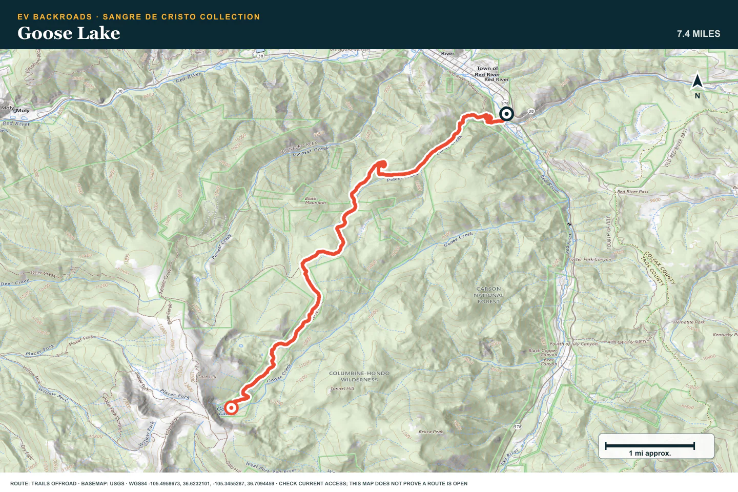
TOPOGRAPHIC PROFILE
Goose Lake, from start to finish
- Climb
- +3,038 ft
- Descent
- −106 ft
Elevation sampled from AWS Terrain Tiles along the published route. Small terrain and GPS differences are normal.
4th of July Canyon
- Route distance
- 3.6 mi
- Allow
- Half day
Add rough rock and a steeper Red River climb. Walk uncertain sections and stop before traction damages the trail.
Access note: Source snapshot: Seasonal Closure. Check the live source before travel.
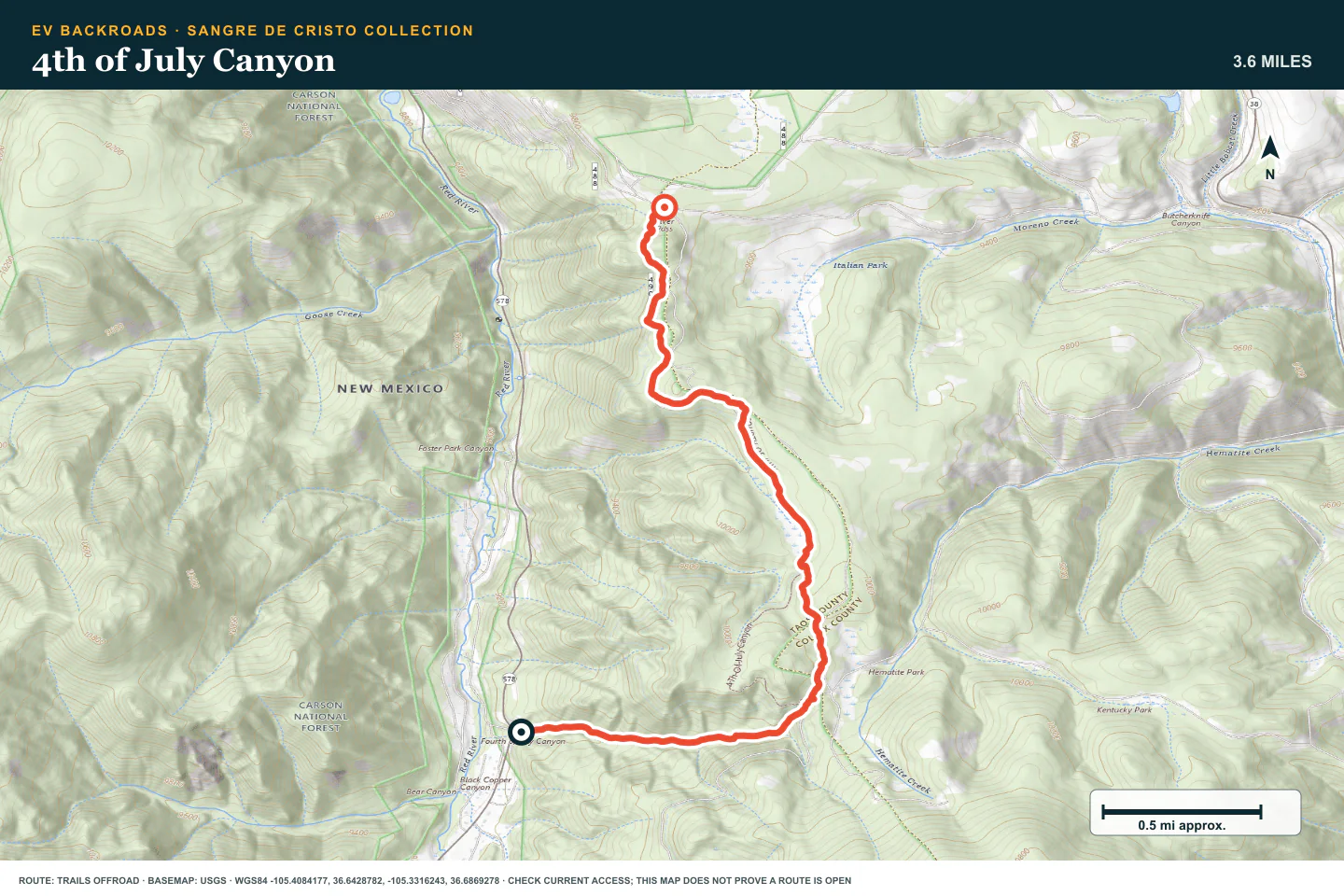
TOPOGRAPHIC PROFILE
4th of July Canyon, from start to finish
- Climb
- +966 ft
- Descent
- −322 ft
Elevation sampled from AWS Terrain Tiles along the published route. Small terrain and GPS differences are normal.
Blanca Peak
- Route distance
- 8.3 mi
- Allow
- Full day
Use this route only with a suitable vehicle, technical experience, and a complete recovery plan. Turn around before the terrain exceeds the plan.
Access note: Source snapshot: Open. Check the live source before travel.
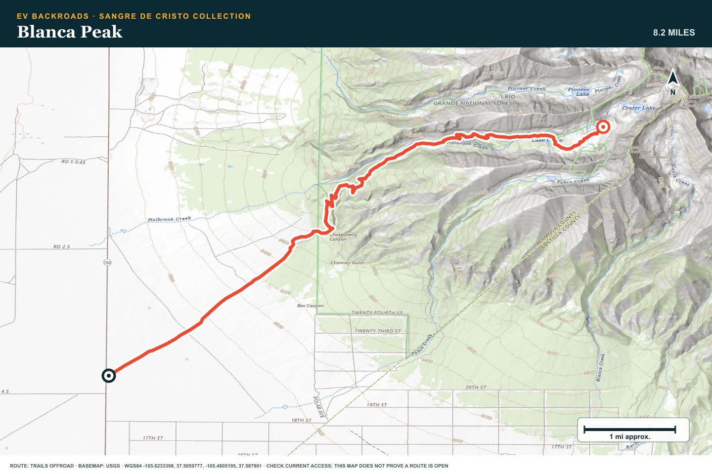
TOPOGRAPHIC PROFILE
Blanca Peak, from start to finish
- Climb
- +4,527 ft
- Descent
- −0 ft
Elevation sampled from AWS Terrain Tiles along the published route. Small terrain and GPS differences are normal.
ROUTE READINESS
Do seven checks before you leave pavement.
surface
Loose mountain road, shelf sections, rock, and steep descents
clearance
Extra clearance and strong tires; later stages need technical clearance
remoteness
Mountain towns are near, but recovery can be slow and costly
charging
Verify the closest valley charger before each climb and plan every transfer
cell Coverage
Download routes and closure notices before the pass
weather
Avoid thunderstorms, active runoff, snow, and freeze-thaw damage
turnaround
Turn around before the next section removes a safe reverse or exit
BEFORE YOU GO
Make these decisions while you have a signal.
- Check the current pass report for every route
- Acclimate before the highest stages
- Set a no-argument weather and battery limit
TURN AROUND WHEN
Follow the limits that you set.
- Water or loose rock is moving across the road
- Wheelspin is needed to continue
- Cloud or fatigue removes the safe margin
CARRY
Prepare for common problems.
- Tire repair and recovery equipment
- Warm layers, food, and water
- Offline maps and satellite communication
OPEN THE LIVE MAP
Check the drive home.
See the route with open chargers and road-distance charging gaps. Planned stations do not change current coverage.