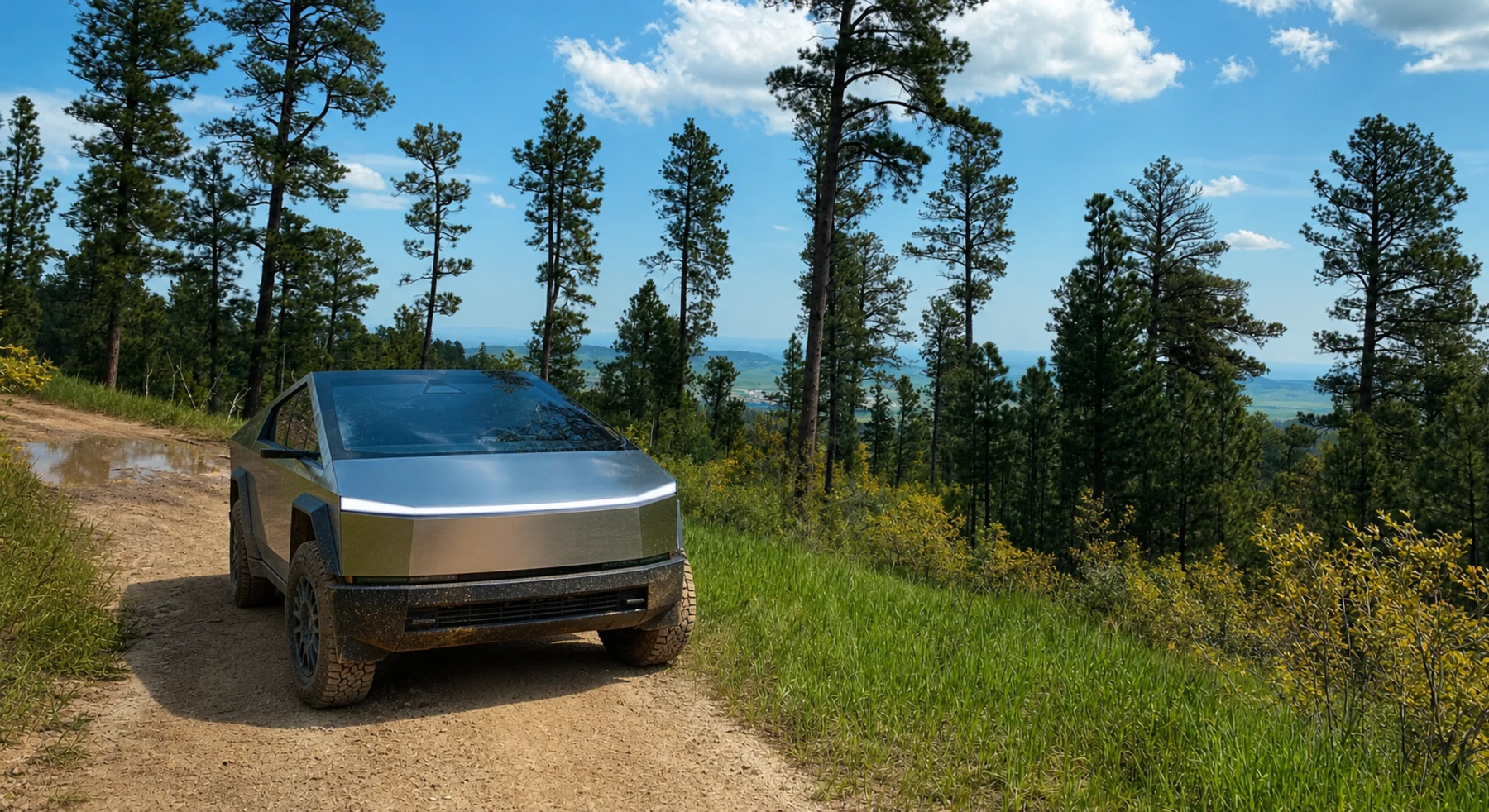

ADVENTURE ROUTE COLLECTION · SOUTH DAKOTA + MONTANA + WYOMING
Northern Rockies: Ridge-to-Shelf Progression
Start with four Black Hills routes. Then add long Montana ridges, a canyon overlook, and an expert Wyoming shelf road.
WHY IT FITS
Why this progression can fit your trip.
The Black Hills stages form a local skills ladder. The later routes turn those skills into longer and more remote mountain days.
ROUTE PROGRESSION
Add one skill at a time.
Drive only the stages that fit your vehicle, experience, weather, and current access. A later stage is not a required finish.
Spearfish Mountain
- Route distance
- 5.3 mi
- Allow
- Half day
Use this compact ridge route to practice speed, tire placement, and a return check near regional services.
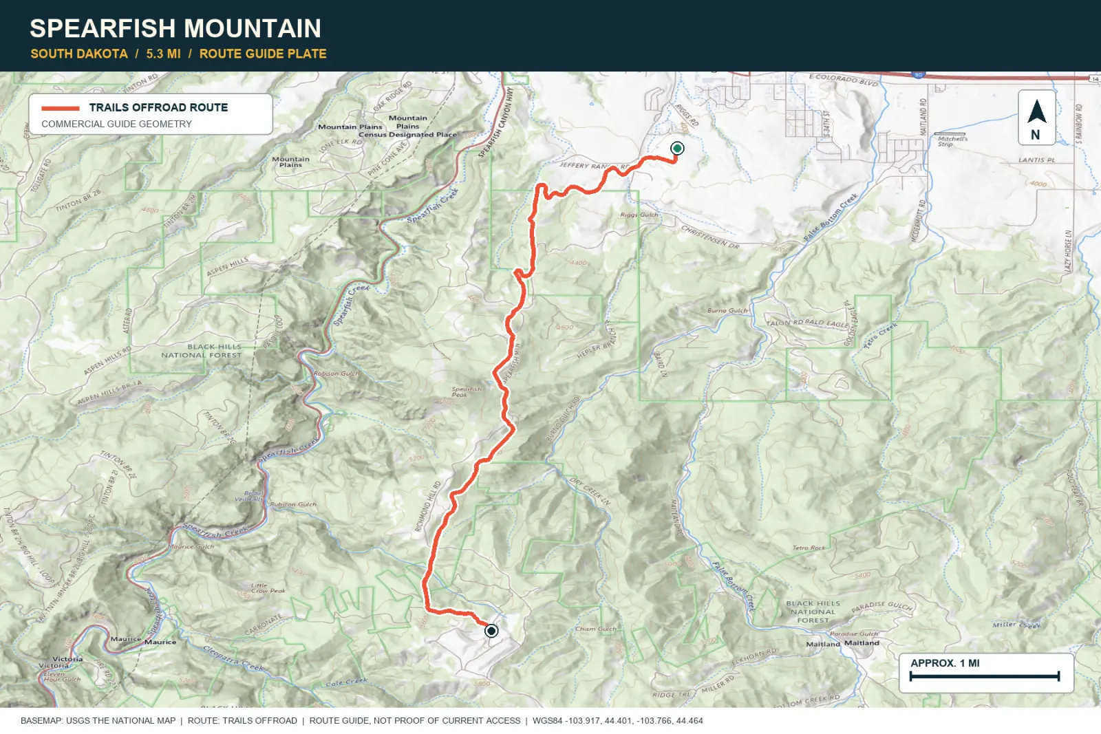
TOPOGRAPHIC PROFILE
Spearfish Mountain, from start to finish
- Climb
- +1,648 ft
- Descent
- −201 ft
Elevation sampled from AWS Terrain Tiles along the published route. Small terrain and GPS differences are normal.
Polo Peak
- Route distance
- 3.6 mi
- Allow
- 2–3 hours
Add a second Black Hills summit route. Check seasonal access and turn back when snow or mud hides the firm surface.
Access note: Source snapshot: Seasonal Closure. Check the live source before travel.
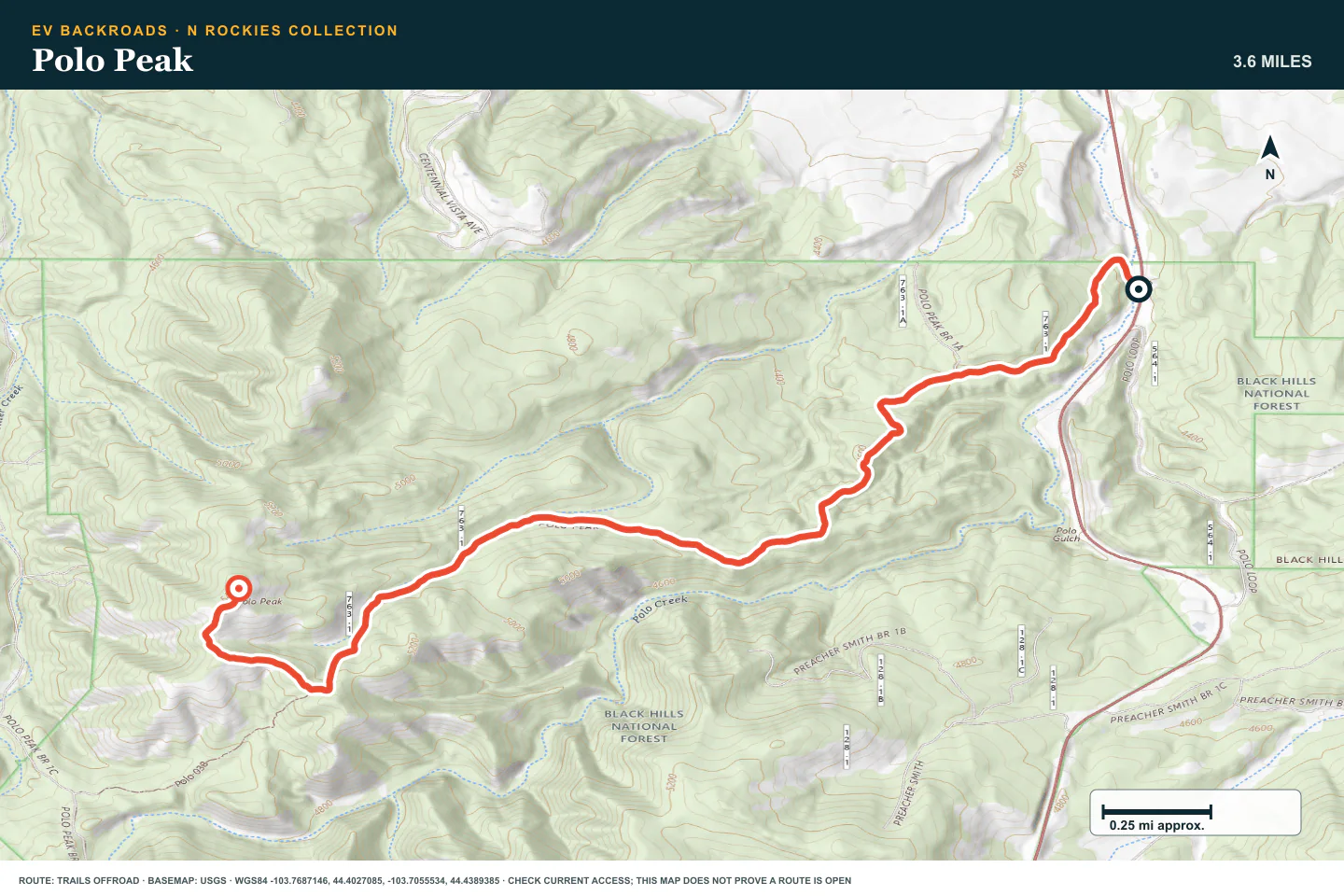
TOPOGRAPHIC PROFILE
Polo Peak, from start to finish
- Climb
- +1,313 ft
- Descent
- −52 ft
Elevation sampled from AWS Terrain Tiles along the published route. Small terrain and GPS differences are normal.
Custer Peak
- Route distance
- 9.4 mi
- Allow
- 2–3 hours
Use the lookout road to practice narrow-road courtesy and slow climbing without a full expedition day.
Access note: Source snapshot: Open. Check the live source before travel.
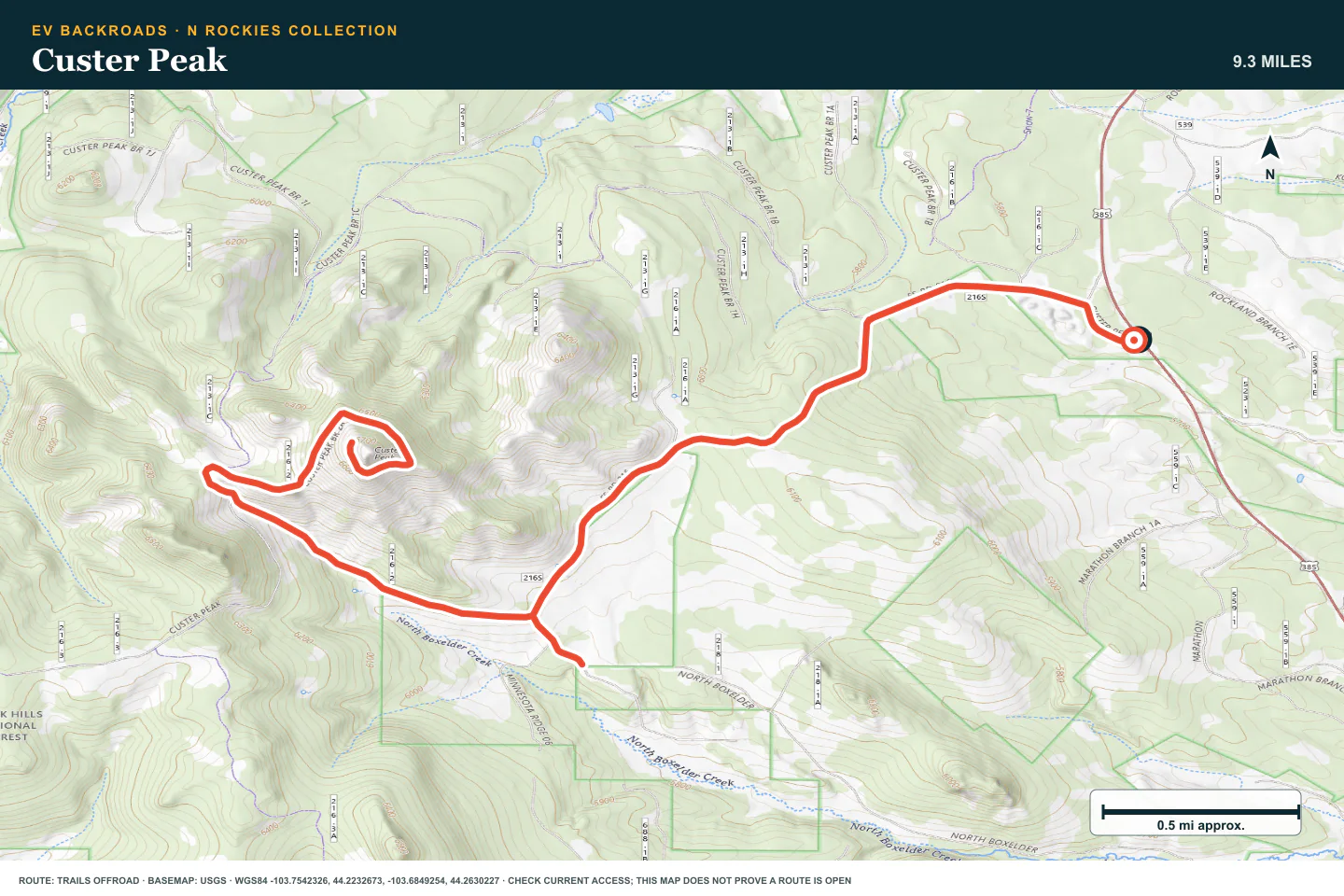
TOPOGRAPHIC PROFILE
Custer Peak, from start to finish
- Climb
- +1,144 ft
- Descent
- −1,139 ft
Elevation sampled from AWS Terrain Tiles along the published route. Small terrain and GPS differences are normal.
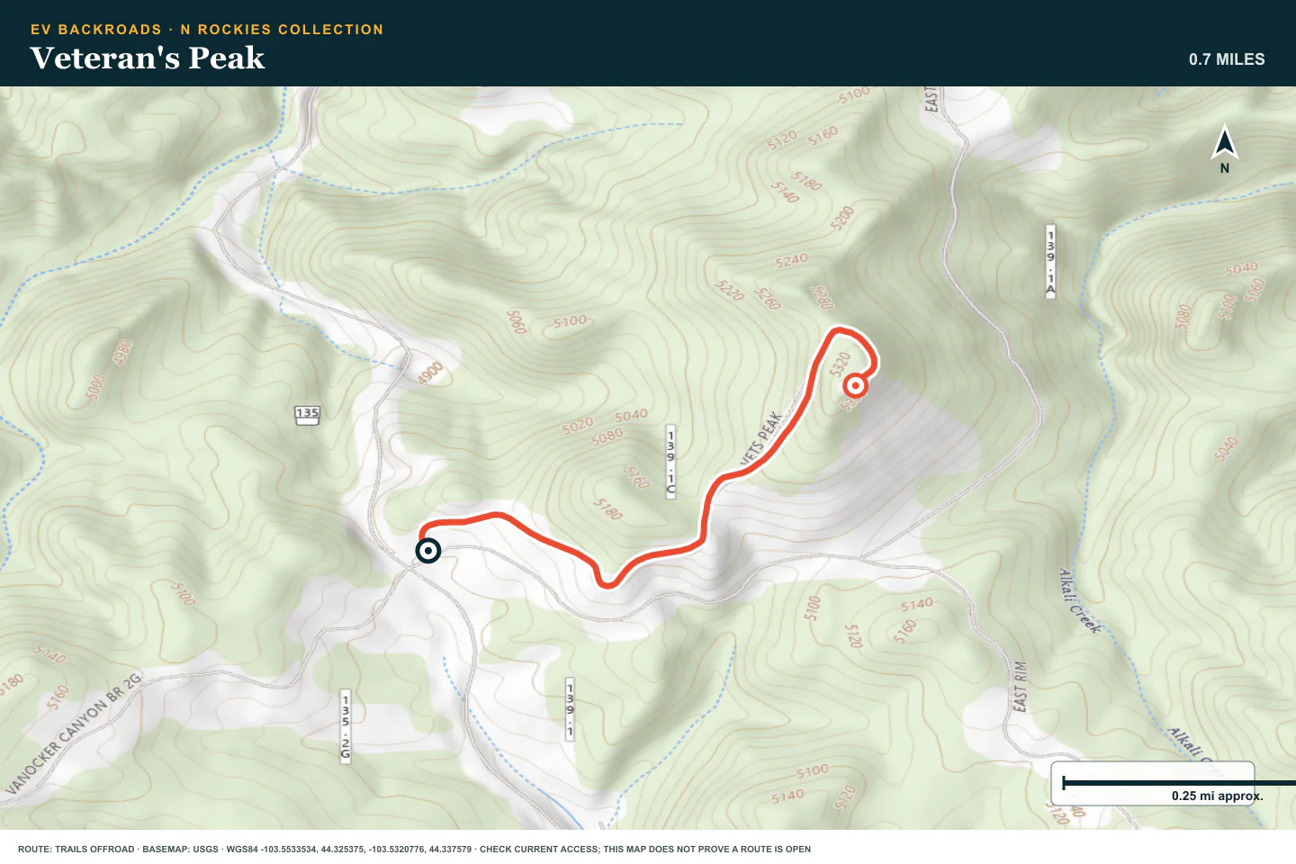
Veteran's Peak
- Route distance
- 0.7 mi
- Allow
- 2–3 hours
Add another compact ridge drive. Compare energy use and tire behavior before the difficult local stage.
Access note: Source snapshot: Open. Check the live source before travel.
TOPOGRAPHIC PROFILE
Veteran's Peak, from start to finish
- Climb
- +301 ft
- Descent
- −0 ft
Elevation sampled from AWS Terrain Tiles along the published route. Small terrain and GPS differences are normal.
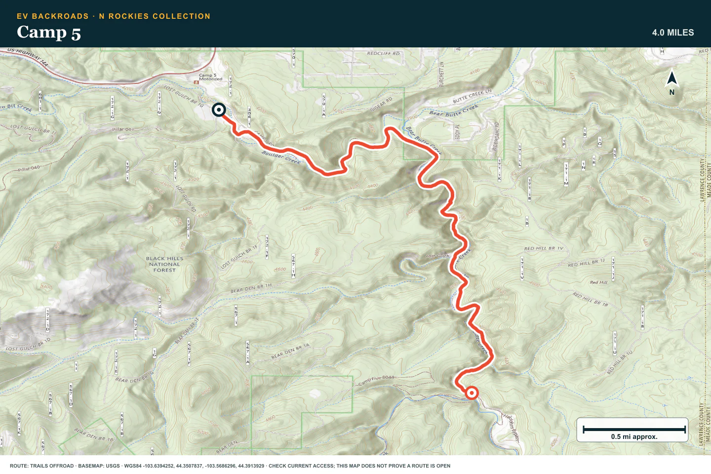
Camp 5
- Route distance
- 4 mi
- Allow
- Half day
Keep Camp 5 as the technical Black Hills stage. Walk obstacles and use a complete recovery plan.
Access note: Source snapshot: Open. Check the live source before travel.
TOPOGRAPHIC PROFILE
Camp 5, from start to finish
- Climb
- +434 ft
- Descent
- −263 ft
Elevation sampled from AWS Terrain Tiles along the published route. Small terrain and GPS differences are normal.
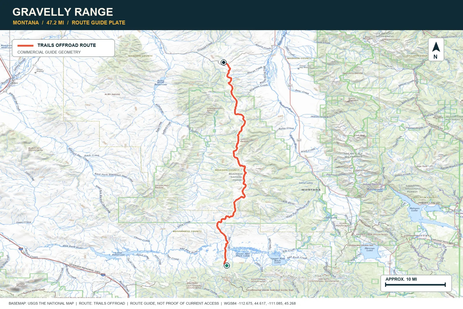
Gravelly Range
- Route distance
- 47.2 mi
- Allow
- Full day
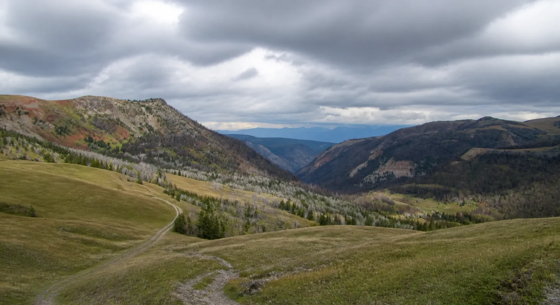
Add distance, open ridge travel, wildlife, and long exposure to changing weather.
TOPOGRAPHIC PROFILE
Gravelly Range, from start to finish
- Climb
- +5,486 ft
- Descent
- −3,961 ft
Elevation sampled from AWS Terrain Tiles along the published route. Small terrain and GPS differences are normal.
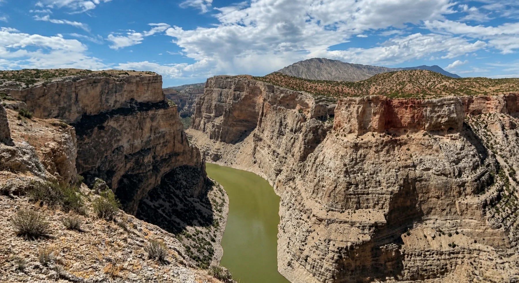
Bighorn Canyon Overlook
- Route distance
- 11.1 mi
- Allow
- Half day
Add rougher two-track and a remote canyon destination. Stop before terrain needs more clearance than the vehicle has.
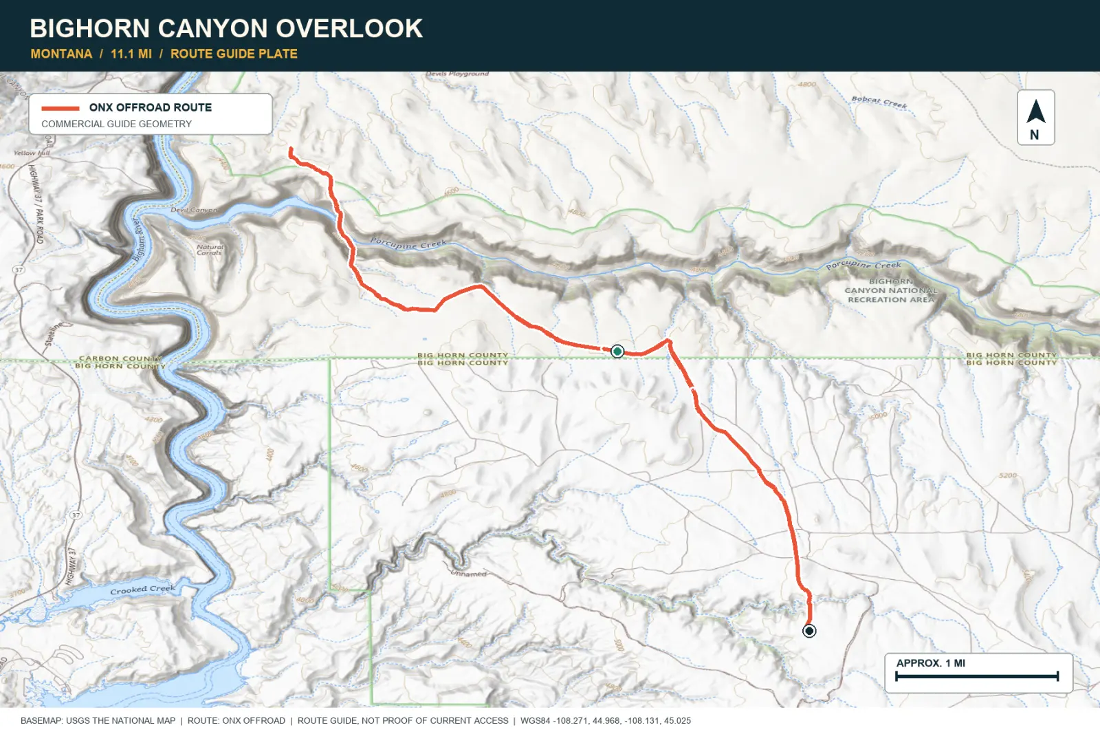
TOPOGRAPHIC PROFILE
Bighorn Canyon Overlook, from start to finish
- Climb
- +830 ft
- Descent
- −830 ft
Elevation sampled from AWS Terrain Tiles along the published route. Small terrain and GPS differences are normal.
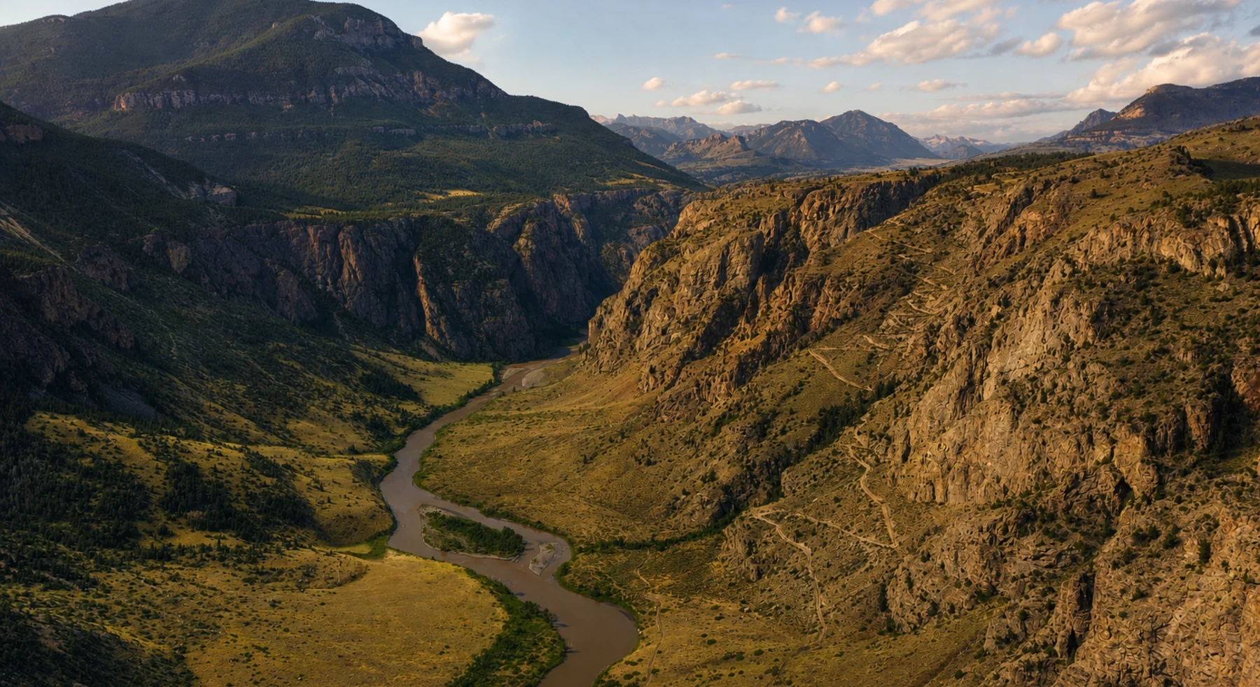
Morrison Jeep Trail
- Route distance
- 22.3 mi
- Allow
- Full day
Use this shelf-road stage only when it is open and the vehicle, driver, and recovery plan fit its tight switchbacks and exposure.
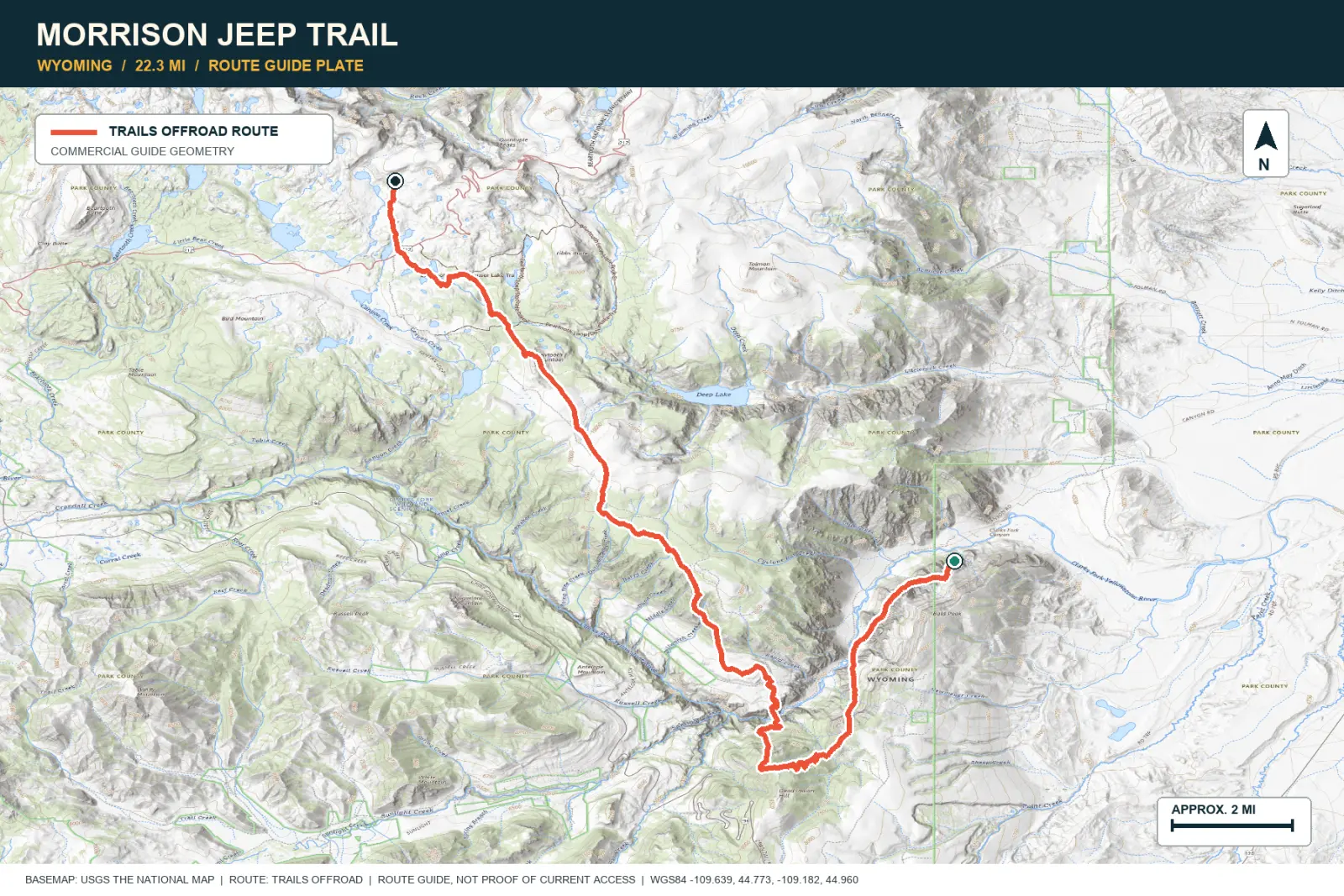
TOPOGRAPHIC PROFILE
Morrison Jeep Trail, from start to finish
- Climb
- +6,088 ft
- Descent
- −984 ft
Elevation sampled from AWS Terrain Tiles along the published route. Small terrain and GPS differences are normal.
ROUTE READINESS
Do seven checks before you leave pavement.
surface
Forest road, long ridge road, rough two-track, and expert shelf road
clearance
Extra clearance for early stages; technical clearance for later stages
remoteness
Long transfers and slow recovery are part of this regional pack
charging
Verify chargers before every transfer and trail day
cell Coverage
Download route and charger data for each state
weather
Snow, mud, fire, and wind can change exposed routes
turnaround
Skip any stage that is closed or adds more consequence than the last controlled drive
BEFORE YOU GO
Make these decisions while you have a signal.
- Confirm every seasonal gate and closure
- Plan highway transfer charging separately
- Choose an alternate easy day for each area
TURN AROUND WHEN
Follow the limits that you set.
- Snow or mud hides the firm route
- A closure or boundary is unclear
- Exposure, fatigue, or tire condition exceeds the plan
CARRY
Prepare for common problems.
- Complete tire and inflation system
- Recovery gear for the selected stage
- Offline maps, water, and satellite communication
OPEN THE LIVE MAP
Check the drive home.
See the route with open chargers and road-distance charging gaps. Planned stations do not change current coverage.