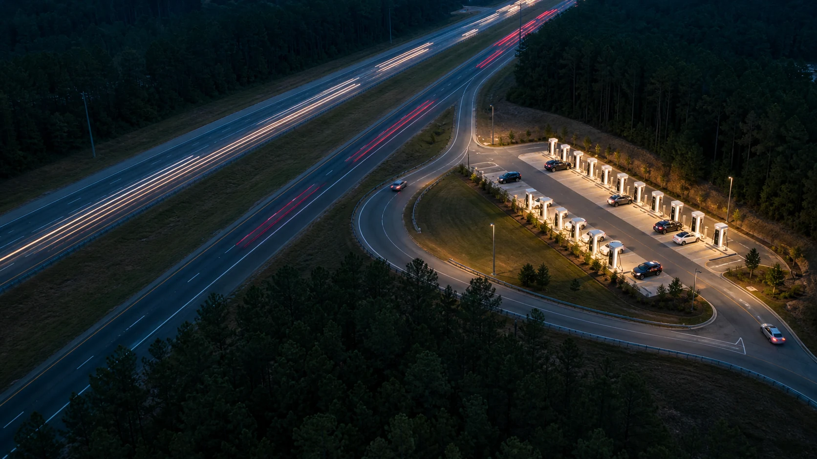
An Interstate charging experiment
The Fastest Charging Exits on I-85
We screened compatible public fast-charging stops between Atlanta and Charlotte. The map removes distant sites, slow charging matches, long directional detours, and complex approaches until the best local candidates remain.
The fastest charger can still be a slow stop. This I-85 pilot looks for exits with less extra road, fewer decisions, and a simpler return to the highway.
A charger can be close on a map and slow to use. The exit can add traffic lights, turns, frontage roads, and a difficult return to the highway.
This pilot asks a narrow question: which compatible fast-charging stops minimize access plus charging time when you travel in one direction on I-85 between Atlanta and Charlotte?
Choose a Cybertruck, Model 3, Model Y, Rivian R1T, or Volkswagen ID. Buzz. The map checks network and connector access, then applies that vehicle's observed charging curve to the same 10% to 60% charge at every station. Connector-specific usable power and stall capacity are ranking inputs. Stall count does not predict a queue.
INTERSTATE CHARGING LAB
Which charging exits waste the least time?
Choose a vehicle and travel direction, then move through each pruning step. Network access, compatible connector power, the vehicle charge curve, access time, road layout, and stall capacity determine the final local candidates.
- Corridor
- I-85 · Atlanta to Charlotte
- Fast-charger networks
- 24 compatible networks
- Vehicle
- Cybertruck
- Charge event
- 10% → 60%
- Screened
- 272 compatible open sites
- Analysis
- Aug 11, 2026


The vehicle-speed screen models the same 10% to 60% charge at every compatible station. It compares connector-specific usable power with the selected vehicle charge curve before spending routing work on road friction.
Loading the corridor map…
Vehicle-aware local frontier
Norcross, GA - Jimmy Carter Blvd
5675 Jimmy Carter Blvd · Norcross, GA · 30071 · USA- Access + charge
- 24.0 min
- 10% → 60% charge
- 20.9 min
- Curve penalty
- +0.0%
- Usable charger power
- 325 kW
- Connector
- NACS
- Added highway time
- +3.1 min
- Road decisions
- 6
- Left / right
- 4 / 1
- Stall capacity
- 8
- Lights / stops
- Not yet audited
- From I-85 line
- 0.2 mi

Tesla Supercharger325 kW station maximum · 8 stalls · CCS1 + NACSConnector-specific usable power and stall capacity are ranking inputs
Tesla Cybertruck AWD: native. Native NACS charging. A compatible Tesla-approved CCS1 adapter opens qualifying public CCS fast chargers; the model caps that adapter path at 250 kW. Connector and network access pass the modeled compatibility screen.
HOW THE SCREEN WORKS
Prune first. Compare the survivors.
1. Corridor screen
Start with open public DC fast chargers that the selected vehicle can access, in a broad buffer around the routed I-85 corridor. This first view includes deliberately poor choices.
2. Highway proximity
Remove sites more than six straight-line miles from the routed Interstate line. This is a cheap screen, not a final access measurement.
3. Vehicle-speed fit
Model the same 10% to 60% charge at each compatible station. Remove a site when its usable connector power makes that event more than 10% slower than the selected vehicle's unrestricted charge curve.
4. Directional access
Route a short highway segment through each surviving charger in each direction. Remove access loops that add more than 12 minutes.
5. Road friction
Keep routes that add no more than eight minutes, contain no U-turn, and stay below the road-decision limit.
6. Local frontier
Compare nearby survivors on access plus charging time, road decisions, turns, and stall capacity. Remove a stop only when another local stop is no worse on every measured input and better on at least one.