EV BACKROADSSEE WHERE AN EV CAN GO. PLAN YOUR FIRST OFF-ROAD TRIP.

SEE WHERE AN EV CAN GO. PLAN YOUR FIRST OFF-ROAD TRIP.

Choose a road. Plan the return.

Explore scenic trails. See open fast chargers and road-distance gaps. Make a plan for the drive in and the drive home.

Open the Backroads Map Browse trail guides

01 · Choose a road

Explore 50 routes that we selected for their views.

Open Offroad America

02 · Check charging

See the full trail with compatible charging networks and connectors.

Open the Backroads Map

03 · Set limits

Set the reserve. Check access. Choose recovery gear and turnaround limits.

Browse trail guides

FEATURED STORIES

See what the roads and data show.

Read two atlases with full routes, elevation data, charging access, and road details.

An Interstate charging experiment

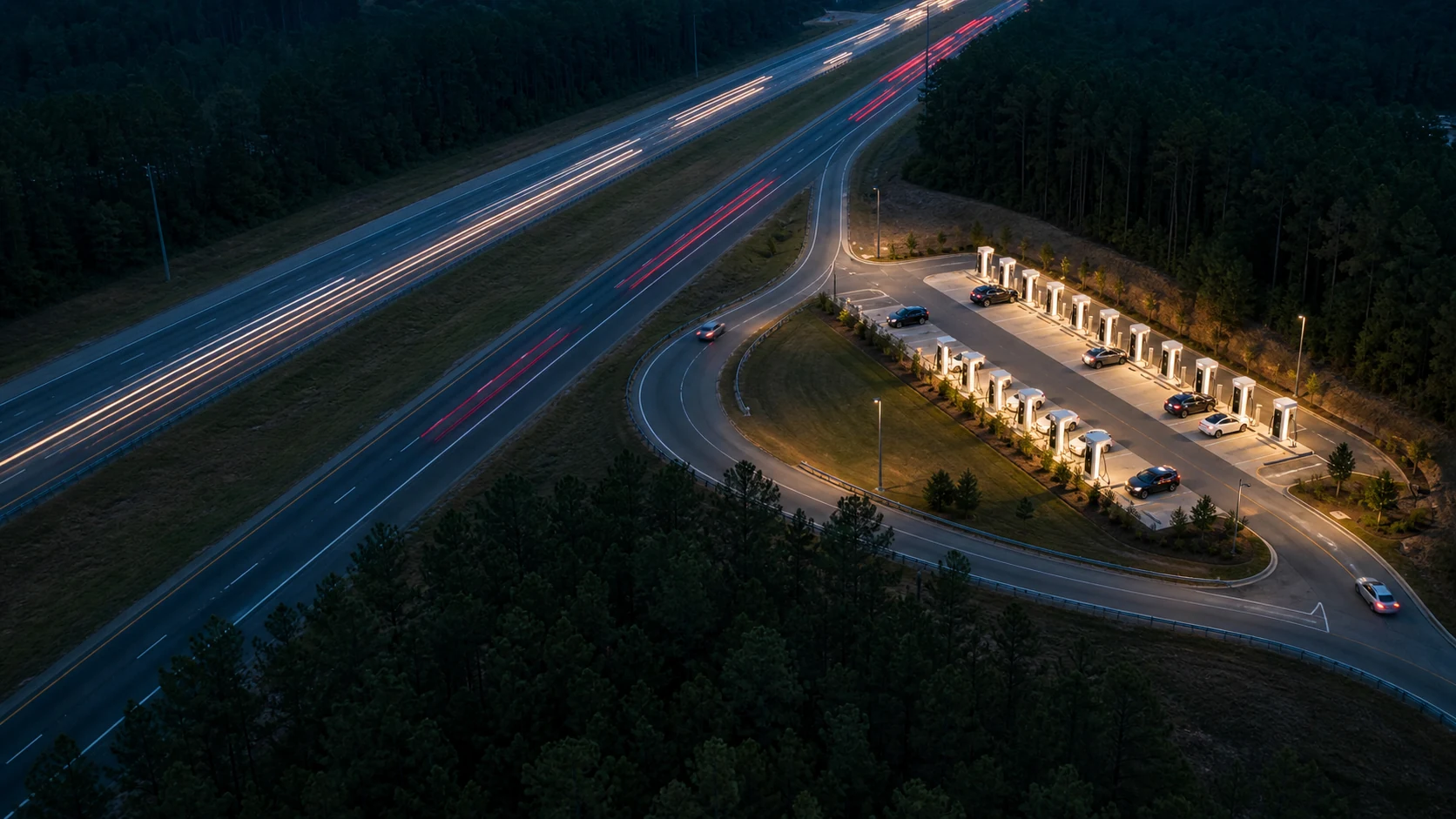
The Fastest Charging Exits on I-85

We screened compatible public fast-charging stops between Atlanta and Charlotte. The map removes distant sites, slow charging matches, long directional detours, and complex approaches until the best local candidates remain.

Read the story
Regenerative descents

The Longest Free Ride

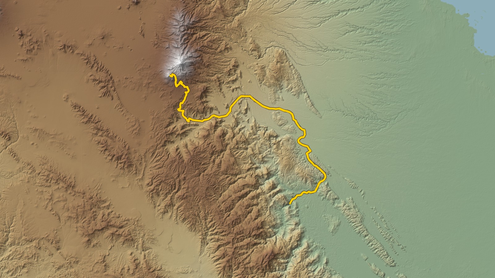
See what an EV can do on 98 long descents. Regenerative braking can return energy to the battery. A lower speed reduces energy use.

Read the story

A national field atlas

Offroad America

Explore 50 scenic routes. Each entry has a full trail path, practical notes, and an interactive map.

Read the story
All stories